• About Us
  • Boat Etiquette
  • Boat Jargon
  • s/v Gaia
  • The Plan
  • Where Are We Now?

Practically Sails Itself

~ Kirsten & Mike's Adventures on Gaia

Practically Sails Itself

Category Archives: Bahamas

Georgetown – Prep to go on our way

25 Wednesday May 2016

Posted by Kirsten McLinn in Bahamas

≈ Leave a comment

Our time to relax was cut short by our need to knock off boat chores around the weekend. Stores shut down on Sundays and most establishments are closed or have shortened hours on Saturday.

We refilled the water tanks with four of our plastic compressible 5-gallon jugs – dockside in Victoria Lake. It took about 5 trips to top off our 3 tanks (hold approx. 50 gallons each). Had our propane filled on a Monday, did laundry, grocery shopping, and one last alcohol run. And last but not least we topped off the diesel fuel tank and gas tank on the dinghy. We went to the Georgetown Yacht Club for diesel and they were great but the nozzle was one of the worst we’ve experienced. Our fuel intake valve is narrower than most other boats and tends to “bubble up” quickly. Many! Many paper towels and cursing accompanied this particular fill up.

IMG_7953

We still bring our own grocery bags when we grocery shop. The French trained us well. In Guadeloupe many grocery stores didn’t cary plastic bags at all. We made the mistake of not bringing our own bags…. only once. But now that I use my own, I wouldn’t have it any other way. It’s seems silly to keep using plastic bags, throwing them away, then going back to the store to use new bags just to throw those away too. Case and point of ‘reality’ is stranger than fiction. (Mark Twain once wrote ‘Truth is stranger than fiction.’)

IMG_7955 IMG_7963

We spent one day fixing screens and cleaning the boat. And when it got too hot, we jumped in to cool off. Our last night in Georgetown we witnessed some amazing lightening storms in the distance. The wind picked up a few times but the anchor held strong in sand along with everyone else.DSC_0028

Company Calls part VI – Mom & Dad Sward

15 Sunday May 2016

Posted by Kirsten McLinn in Bahamas

≈ 1 Comment

IMG_7942We greeted my parents at the hotel, Peace & Plenty, they were standing on a veranda looking out over the water. When they turned around to see us it was a tidal wave of hugs and smiles. Despite having traveled thousands of miles under sail for several months, they kept repeating ‘ I can’t believe you’re doing this, that you’re here!’ IMG_7937 That made us smile even more.

From the moment they stepped onboard I knew it was going to be trouble. Of all our friends who visited, it was my Mom and Dad, who couldn’t keep still. The second I turned my back they were running foredeck or off the side boarding ladder into the water. Aiyiyi. It was going to be a long week. 😉

We began in Georgetown, the capital grounds for cruisers in the Bahamas. Peak season is in the winter months, so the anchorages we explored (in May) were largely quiet and we had our pickings of where to anchor.

My Mom and Dad quickly made use of the clear water when they first arrived. We eventually & leisurely motored across the harbor to Stocking Island and made landfall at the Chat n Chill. It’s a beautiful beach with picnic tables scattered under trees, a volleyball net, tree swings, the ring game – this place is ‘never never land’. It was crafted for adults, a place where day drinking and laughter lifted all your cares and land worries away. It was easy to get sucked into this place. And yet, after all the hype of hearing about the infamous Chat n Chill, I was a little underwhelmed. It was a beach bar that seemed to serve you a beer and usher you back out. So back out is where we went and the place I enjoyed the most. We left the Chat n Chill beach area and wandered to the eastern side of the island wadding through a narrow channel to get to the next beach.

DSC_0055 DSC_0056

DSC_0058 DSC_0060

DSC_0066
beach on the east side
beautiful beach day
beautiful beach day

DSC_0089
back in front of chat n chill
DSC_0118

From Stocking Island we sailed all day trailing thunder clouds until we anchored in Lee Stocking Island, near the old maritime research facility, abandoned in 2011. It was once the Perry Institute for Marine Science a research facility started in the 50’s to pursue marine research and sustainability. Sadly, in 2006 Perry died and funding dried up, a caretaker now looks over the grounds. A couple of cruisers dinghied over and informed us this anchorage had a lot of mosquitos but further south the pristine DSC_0122anchorage of Williams Bay had no bugs. We pulled up anchor and sure enough, yes, Williams Bay was astounding. Twin beaches, interesting limestone formations and a sandy bottom.

We went ashore and walked the adventurous trails taking in the sites.
DSC_0125 DSC_0136


We had a beautiful day sail to Farmers Cay in light wind and took the mooring ball in front of the yacht club in stunning clear water. The current was a bit strong but the wind was light. We tied our dinghy to the newly built dock and were greeted by Roosevelt. We enjoyed a traditional Bahamian dinner and even learned how to dance with Roosevelt once we were finished.

DSC_0141We explored the ship wreck across the channel and strolled the beaches around Little Farmers Cay. We made our way back to Georgetown at this point and stopped in Rudder Cut Cay. David Copperfield owns land around here and there’s a mermaid playing a piano underwater (made of stone in 15 feet of water). We anchored near the enormous cavernous limestone overhang, which was the highlight of the anchorage for me.

My parents asked to get as much time on the water sailing & thats exactly what we gave them. We had another full day of sailing, close hauled.

DSC_0148 DSC_0149

We stopped behind Rat Cay and enjoyed our afternoon with snorkeling the clear waters on our own secluded beach and enjoying ‘anchorage cocktails’ & bottle of wine.

We returned to Georgetown and strolled the small town and enjoyed the warm weather. We had our last beers together at the beautiful hotel, Peace & Plenty.

IMG_7951 IMG_7952

Thanks for gifts and giant bag of M&M’s, thanks for helping us sail, even more thanks for not crashing the boat into rocks, and thanks for coming to visit. Catch you state-side one of these days.

Company Calls part V – Jess n Justin Make a Move

07 Saturday May 2016

Posted by Kirsten McLinn in Bahamas

≈ Comments Off on Company Calls part V – Jess n Justin Make a Move

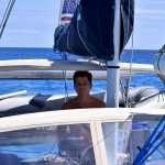
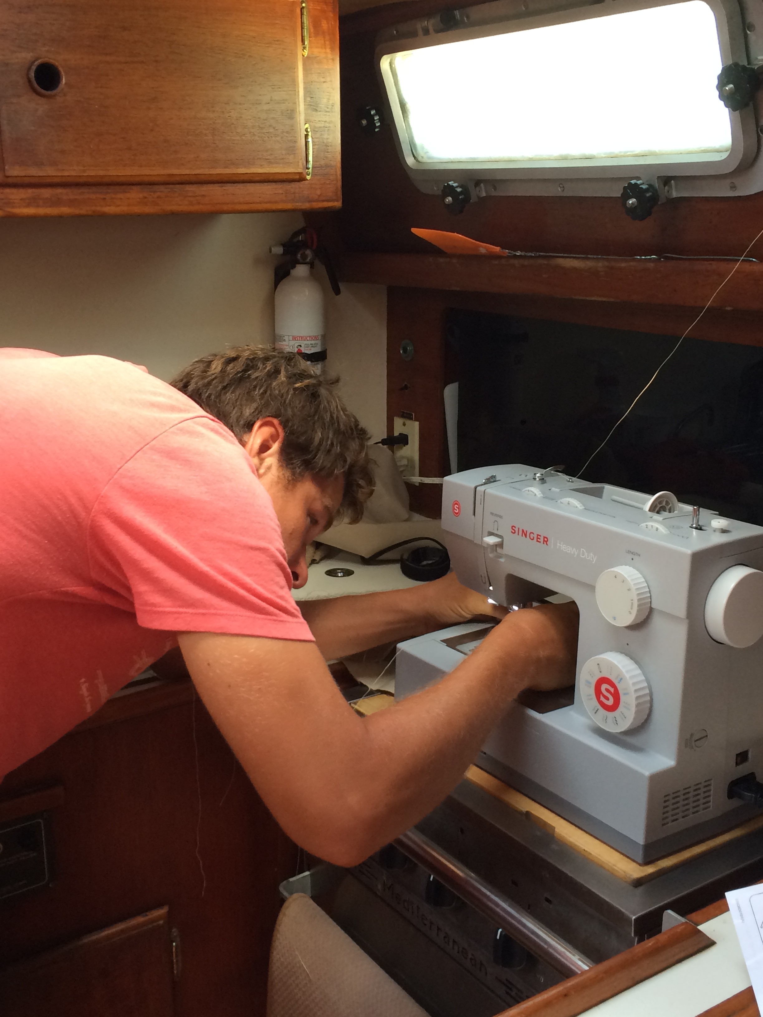
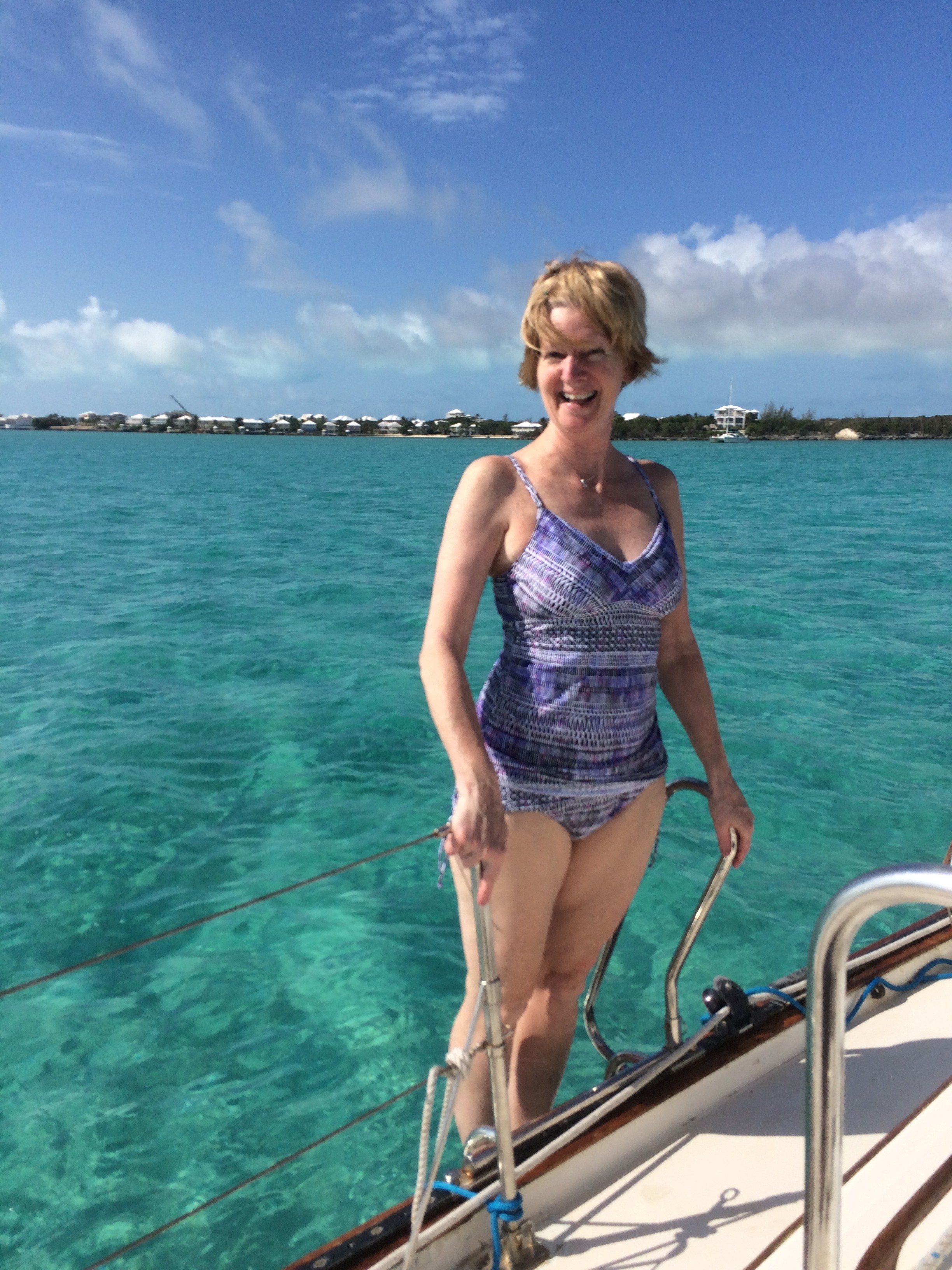
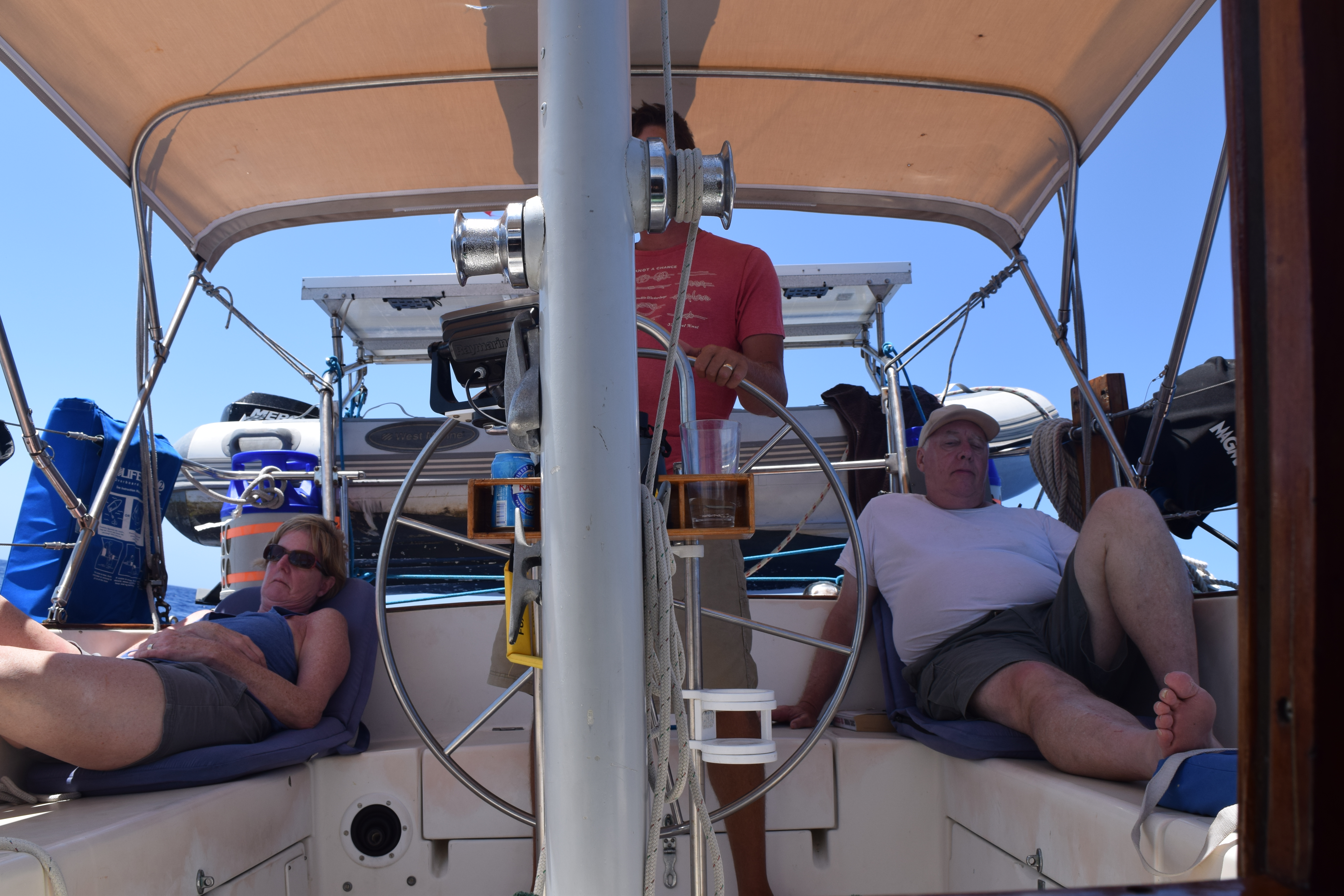
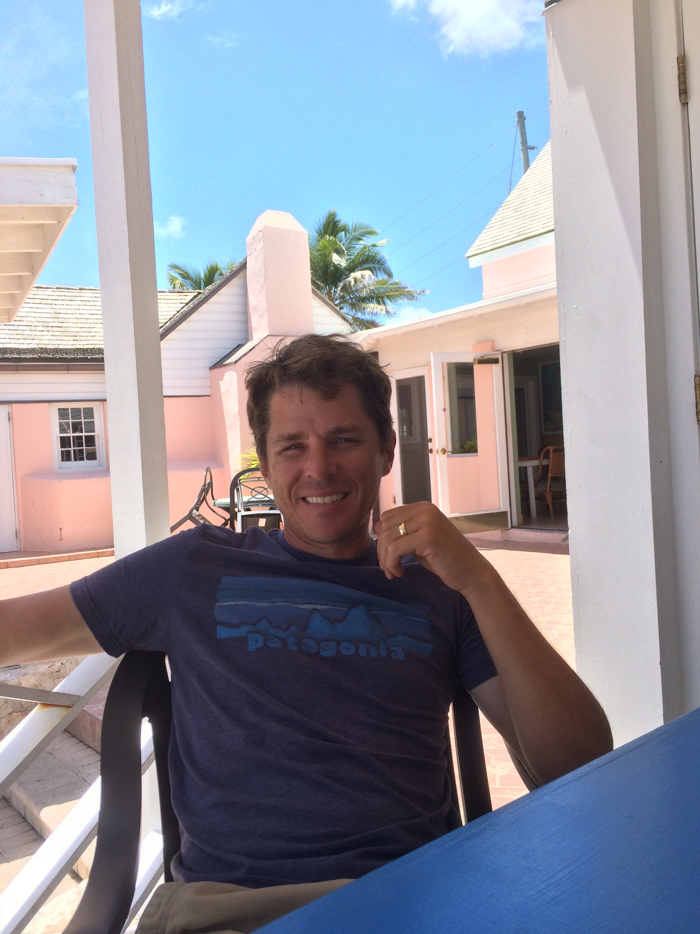
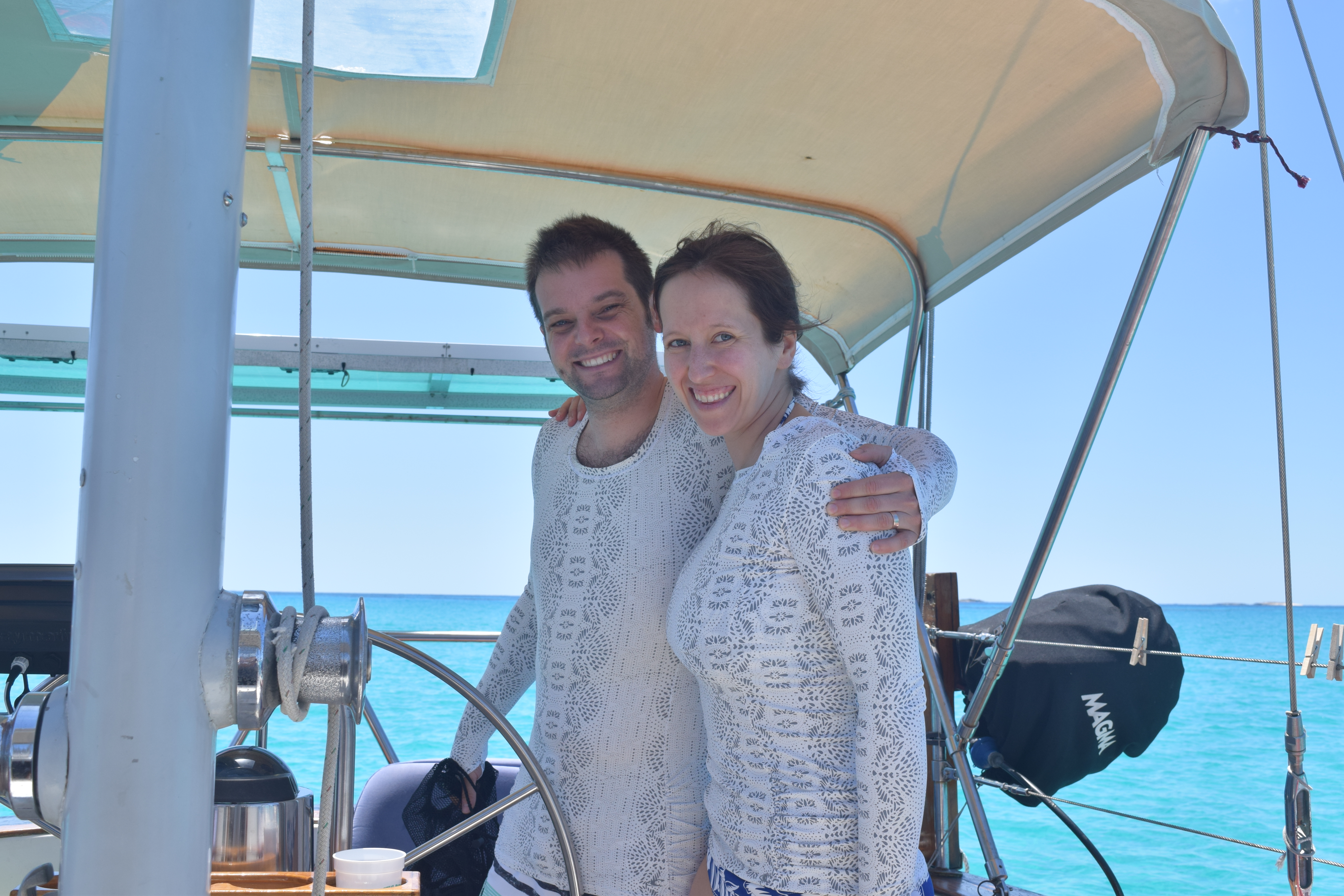
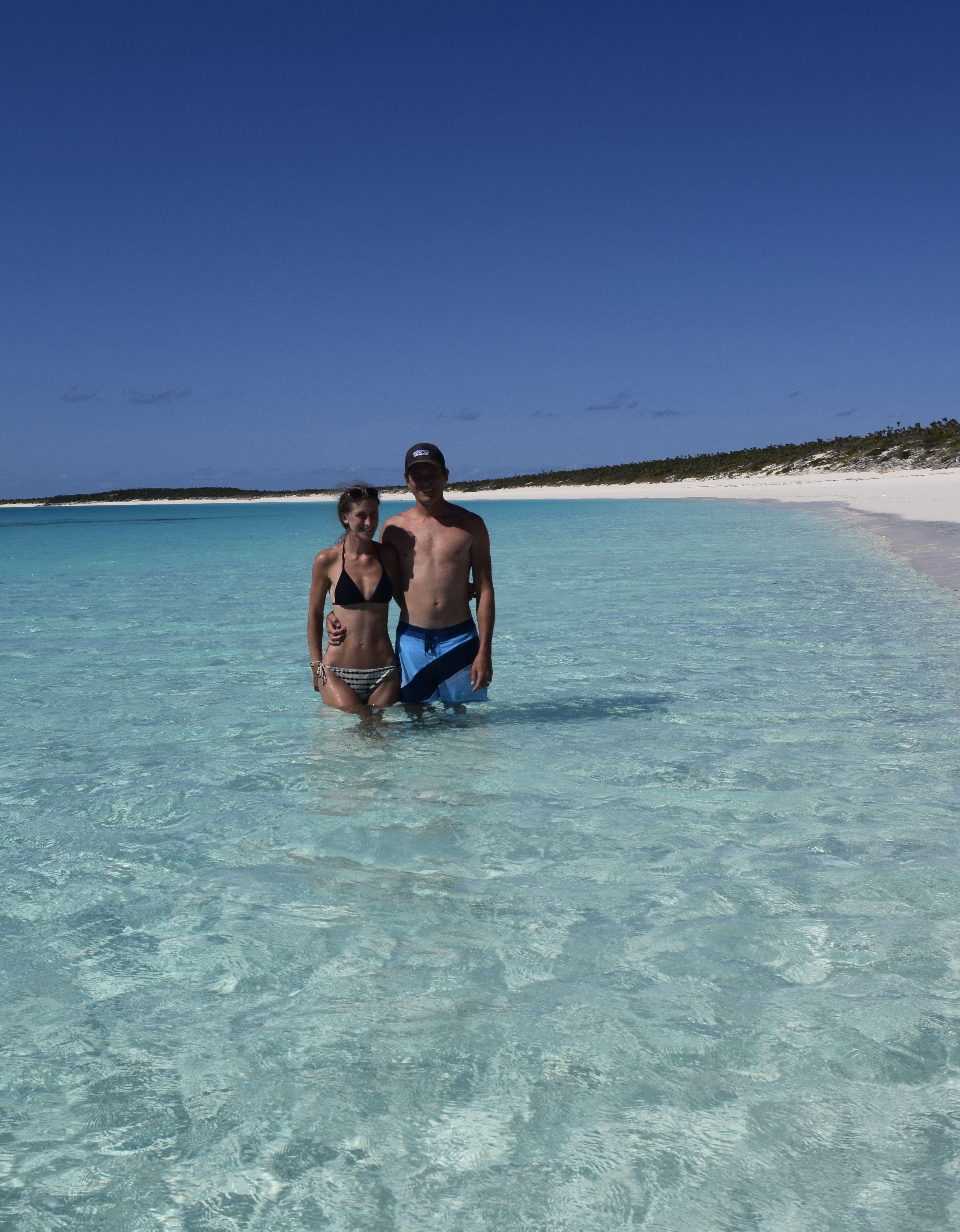
The day Jess n Justin arrived, it poured… I mean it poured hard. We had rented a car to run a few errands like laundry and groceries then pick our friends up at the airport. When the rain subsided we ferried our dry warm clean laundry and groceries back to Gaia. As we opened the hatch we found that we (cough..Mike cough) left the hatch above the aft cabin bed completely open. The neat and tidy bed we had made was drenched. Bugger. What a way to start off a vacation for friends. We picked them up at the airport returned to the boat and sure enough the sun began peaking out of the clouds just before sunset. It wasn’t going to be so bad… they’d just sleep on the settees. All the running around and being swamped by buckets of rain was all made better when Jess n Justin pulled out of their luggage 4 steaks from a cooler bag. The last time we had a decent steak was in …. New York? 8 months ago… god that long… yeah not cool. Mike and I were aside ourselves incredulous with happiness. We broke out the good wine and the good the silverware, the only silverware and went to work.

DSC_0859
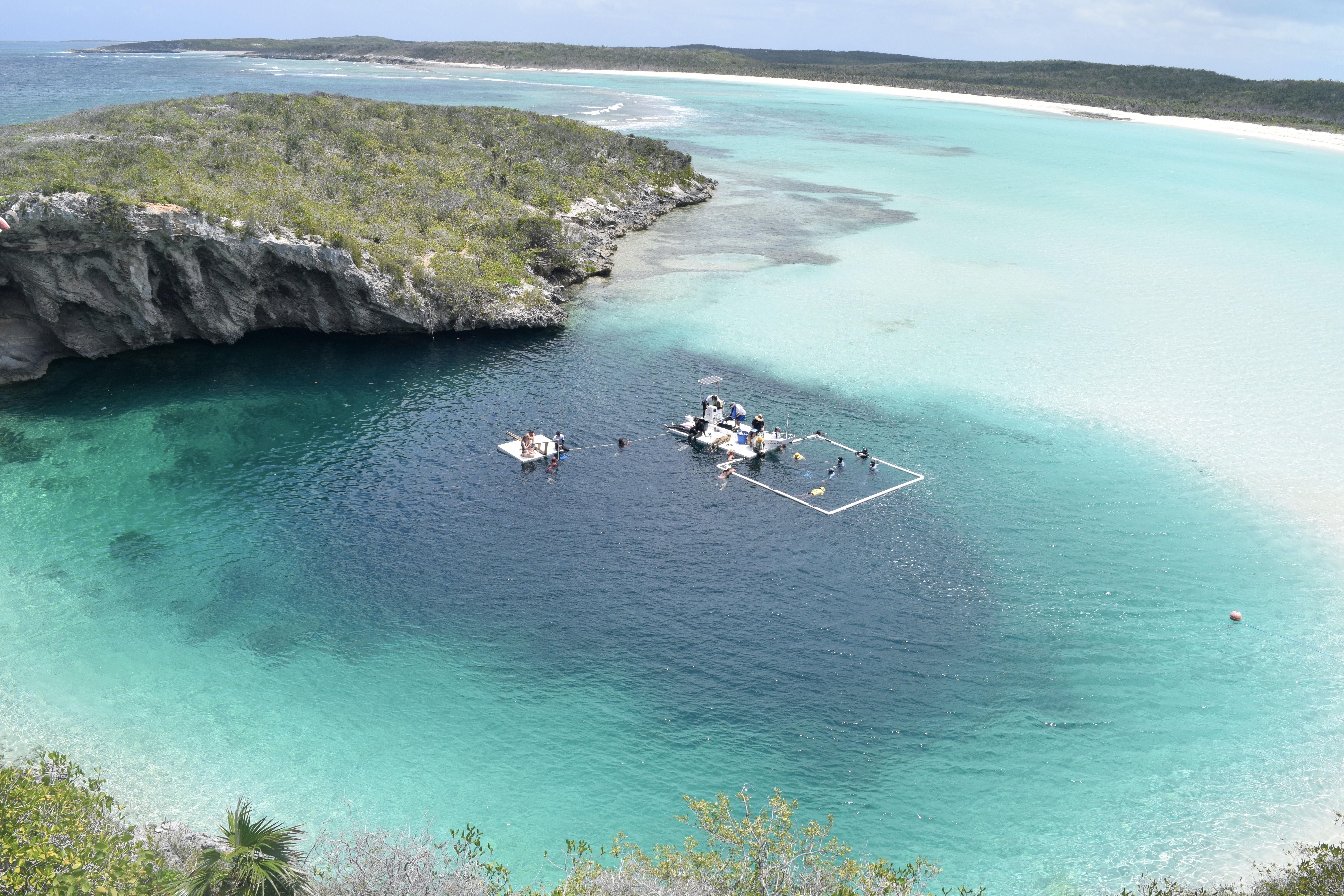
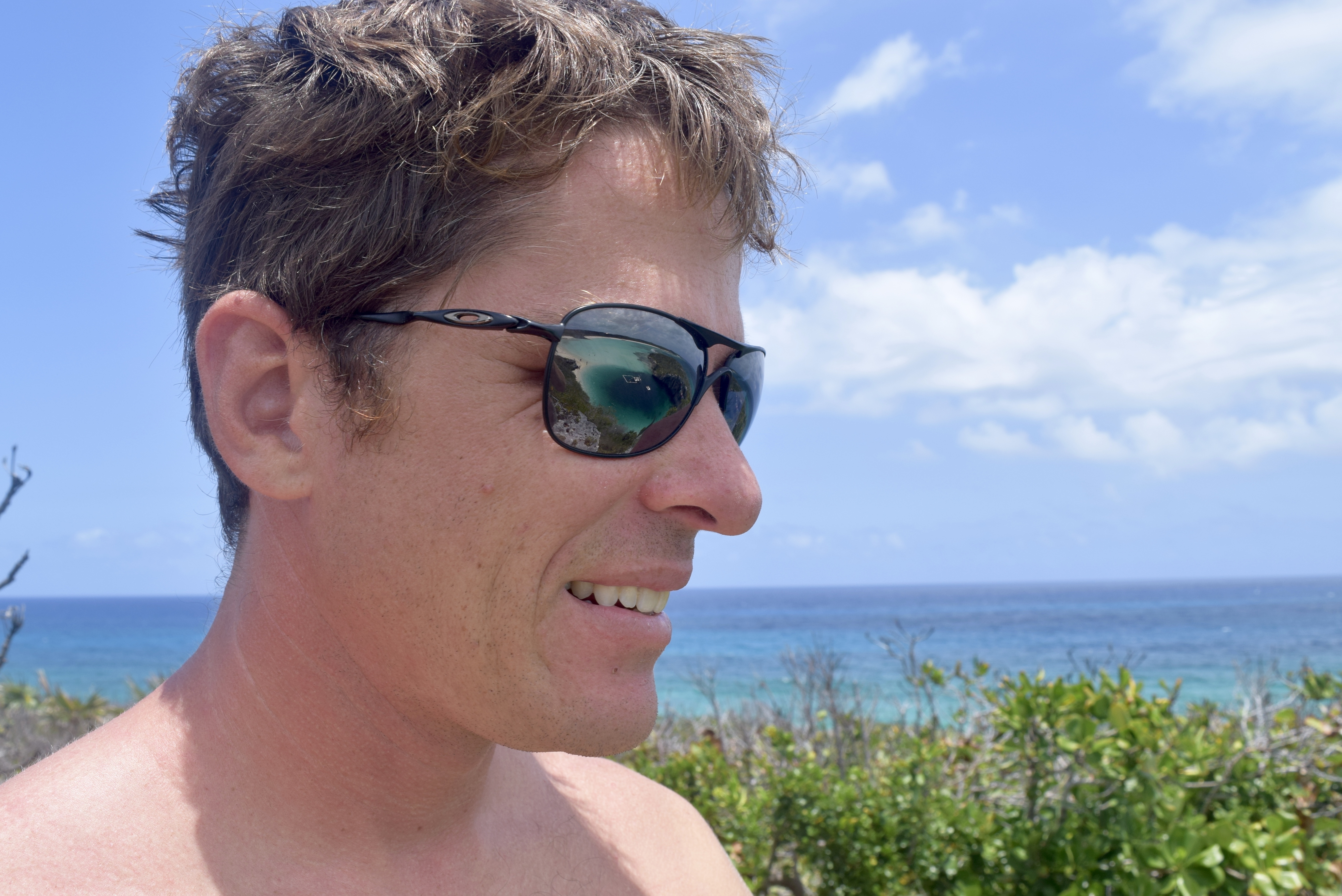
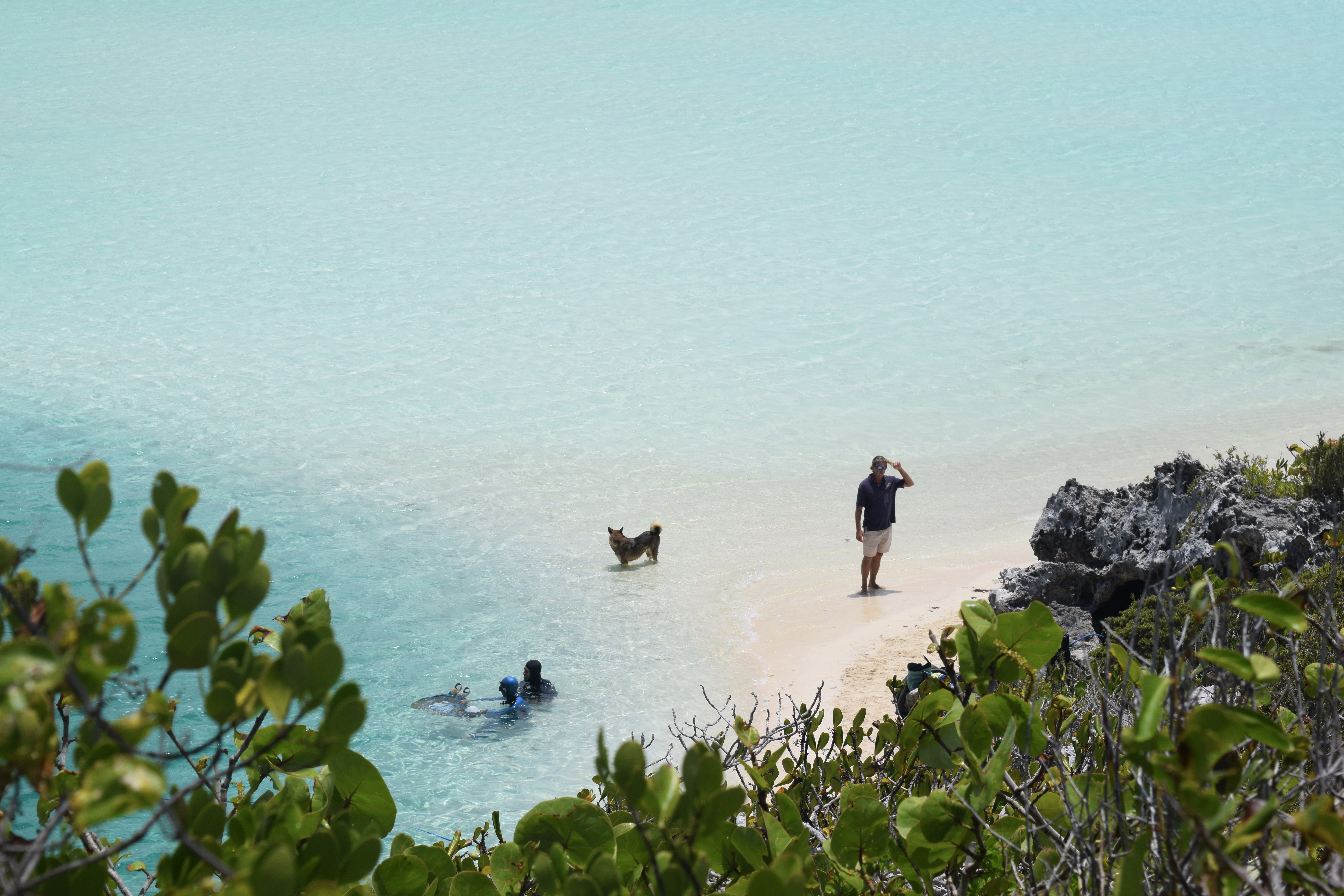
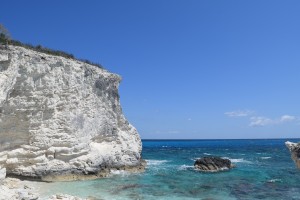
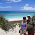
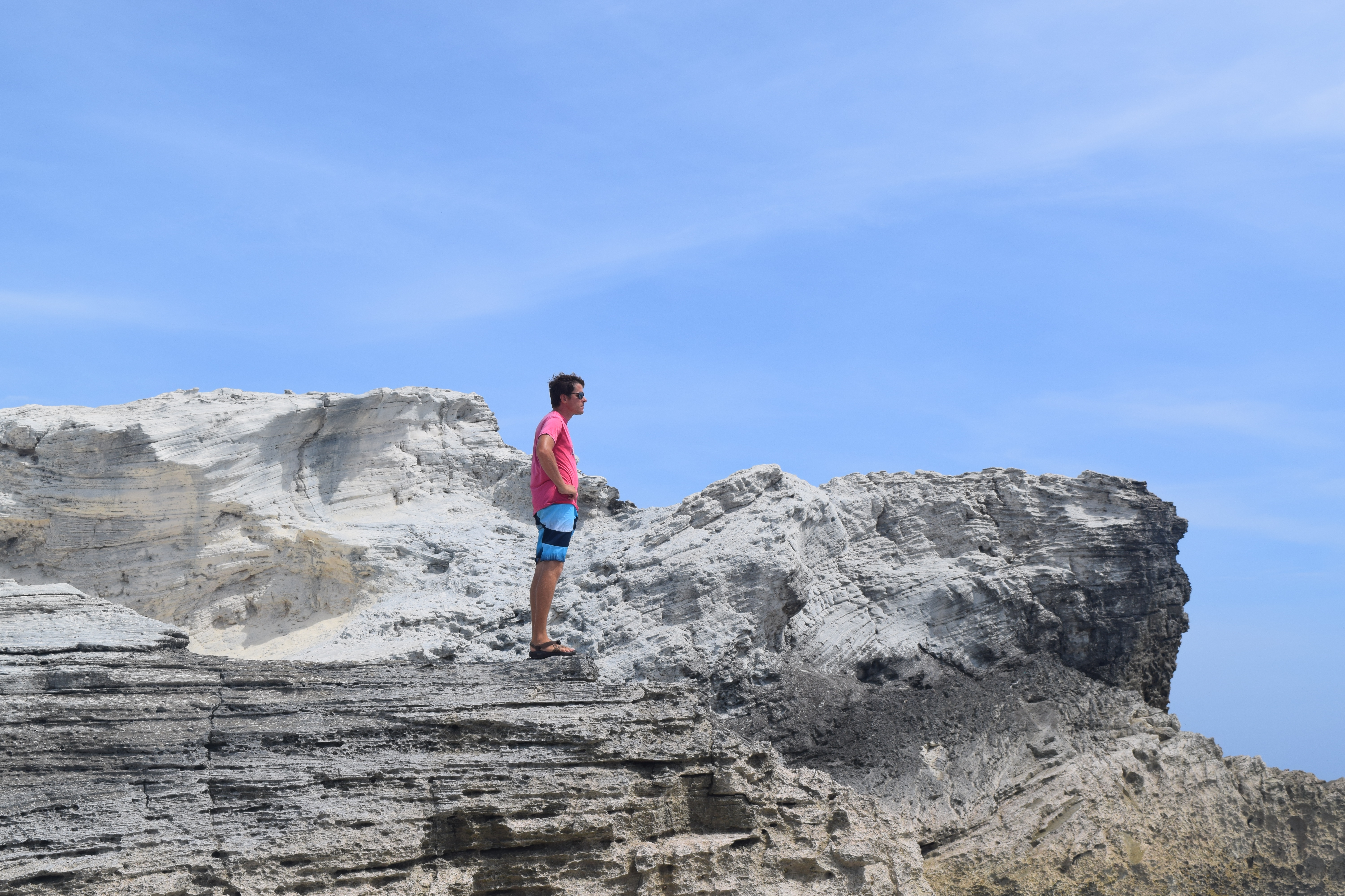
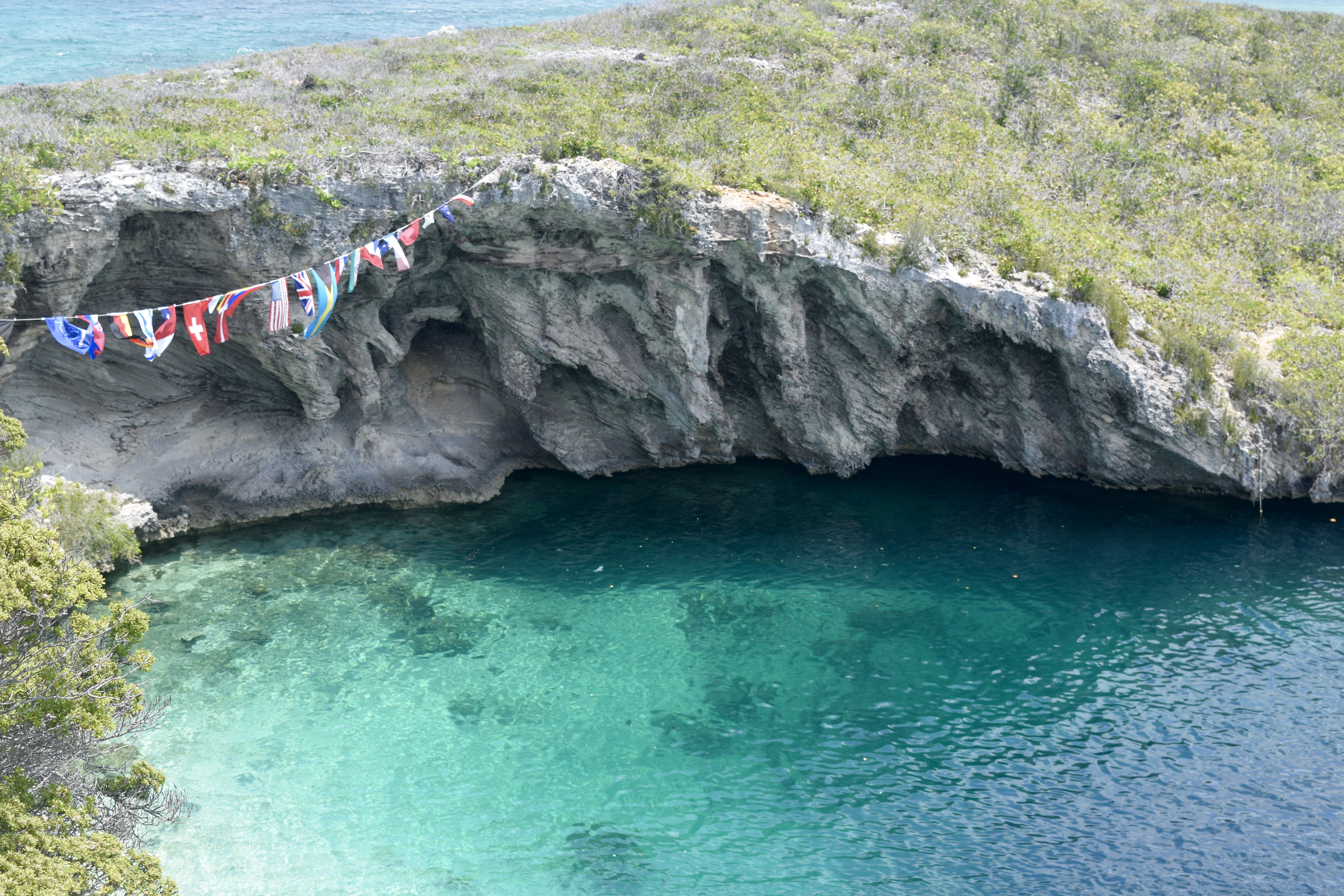
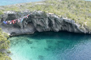
The next day we used the rental car to drive over to Dean’s Blue Hole. The free dive competition was gone but a few curious tourists and a class for free-diving was taking place. Jess and Mike were bold enough to climb to the edge of the limestone cliffs and plunge about 25 feet into the blue hole. Both had good form.


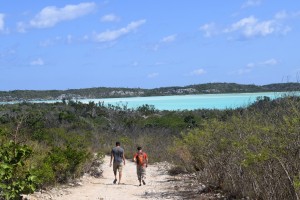
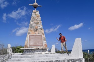
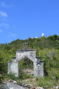
We set sail for Calabash Bay near the northern part of Long Island and found a trail that lead to the Christopher Colombus memorial. The walk over was easy and nice to catch up with old friends.

DSC_0880 DSC_0885 DSC_0888 DSC_0902


DSC_0915
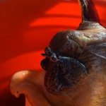
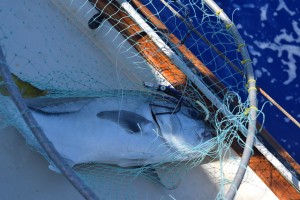
After a night of too much chess games, we made our move to Conception Island. We thought San Salvador would be amazing but sailing there and back and seeing the island would eat up 4 days easily. Conception Island was only 30 nm, a far more manageable day sail. When we approached we caught a horse-eyes jack. Discovering that ciguatera was an issue for larger horse-eyed jacks, we had to set this big lugger back to his home.  DSC_0931
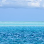
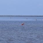
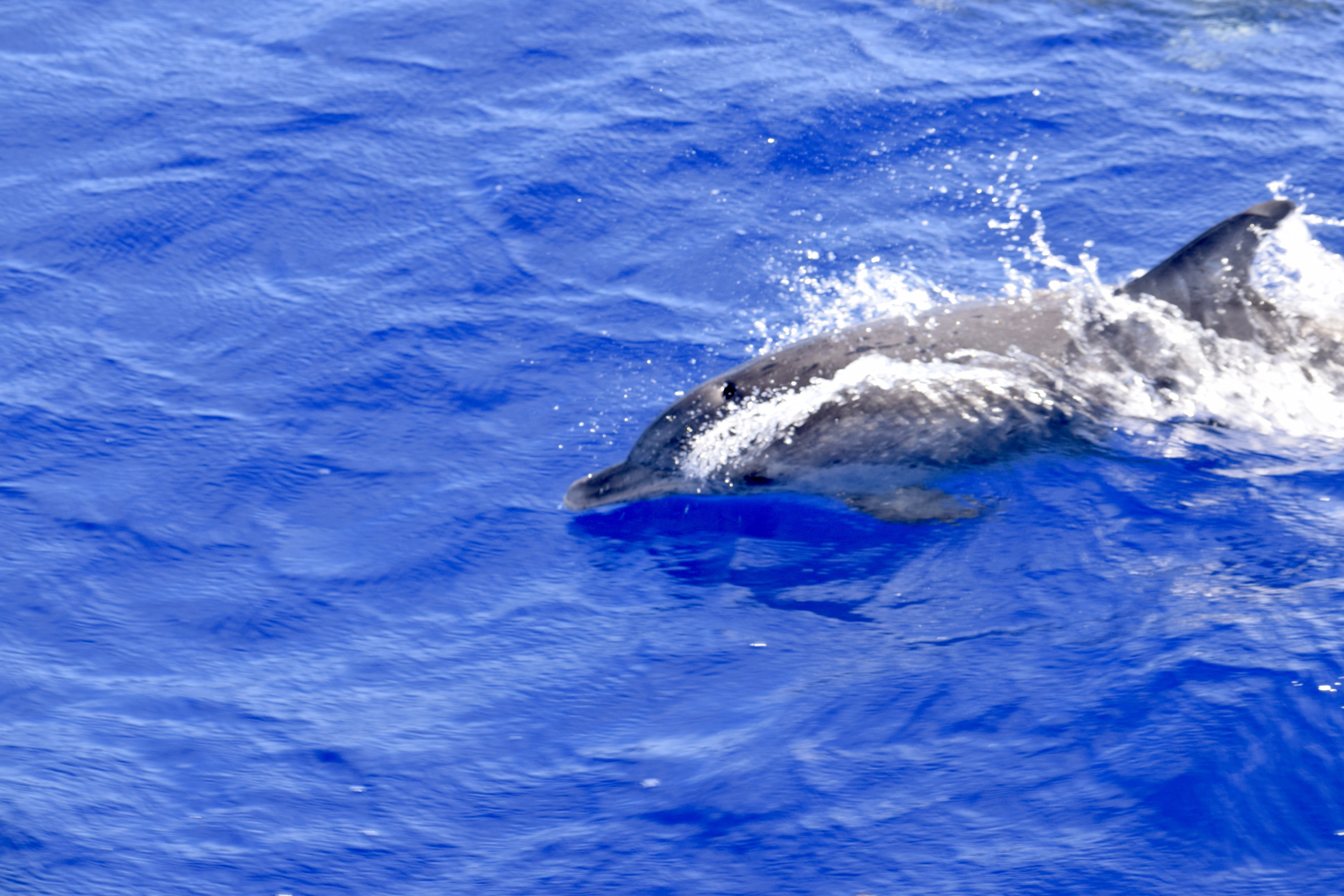
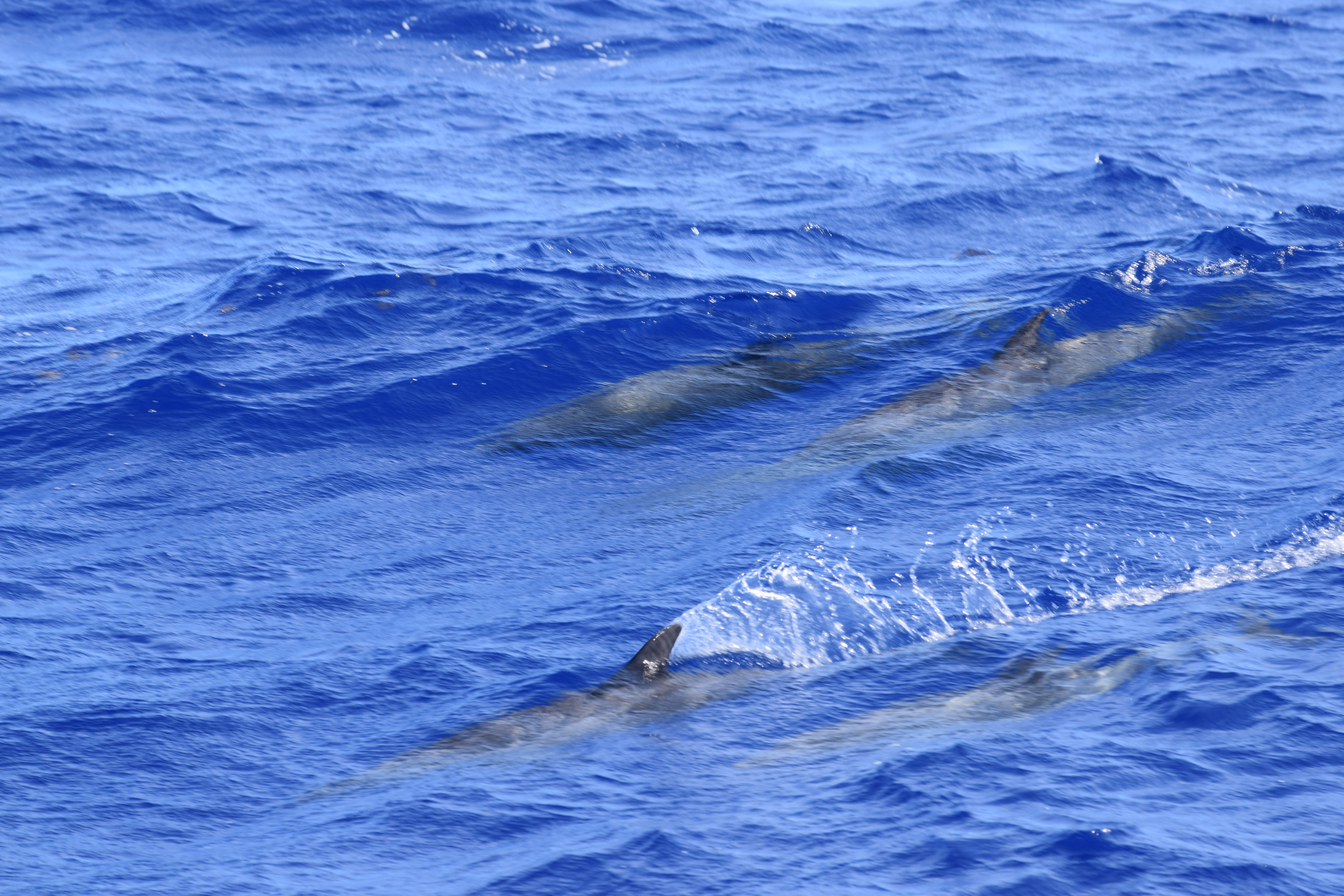
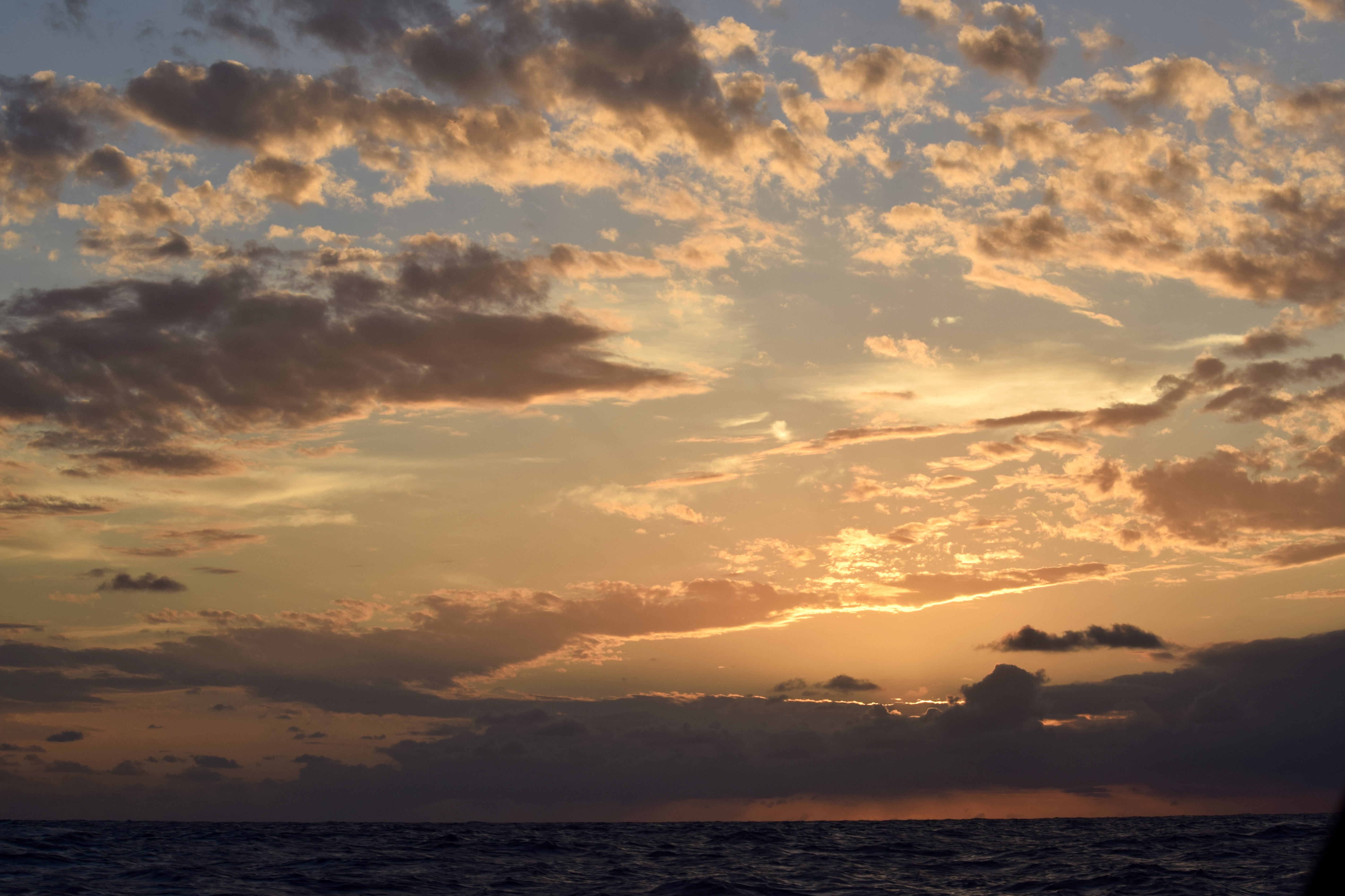
As we settled down from the excitement another friend playfully swam by. A dolphin swam around the boat, twirling about in the water and playing in the bow wake. At this point we found Conception Island to be most welcoming. The wind was just north of East which made the swell that wrapped around from the south to be very subtle. When the sun set and the stars rose we were completely alone in paradise. The next night we moved to the the northern anchorage and found two other sailboats perched nearby. We dropped the anchor and found three large nursesharks DSC_0935
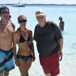
nestled in the shadow of the boat. All 4 of us flung ourselves into the water to get a better look. They were pretty great. I think of them like sheep, cute and harmless but in a beguiling shark kind of way. We enjoyed the beach and were intending to leave early next morning but then we bumped into the folks on the nearby monohull – a chatty bunch from FL and then two brothers from the catamaran dinghy-ed over and invited us over for drinks which quickly escalated to a potluck. I believe it was the words of fresh caught seafood that sealed the deal for us. We decided we’d stay another night and party with our new friends tonight. We found out there was a great mangrove river to be explored and so much more to snorkel.

DSC_0982
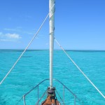
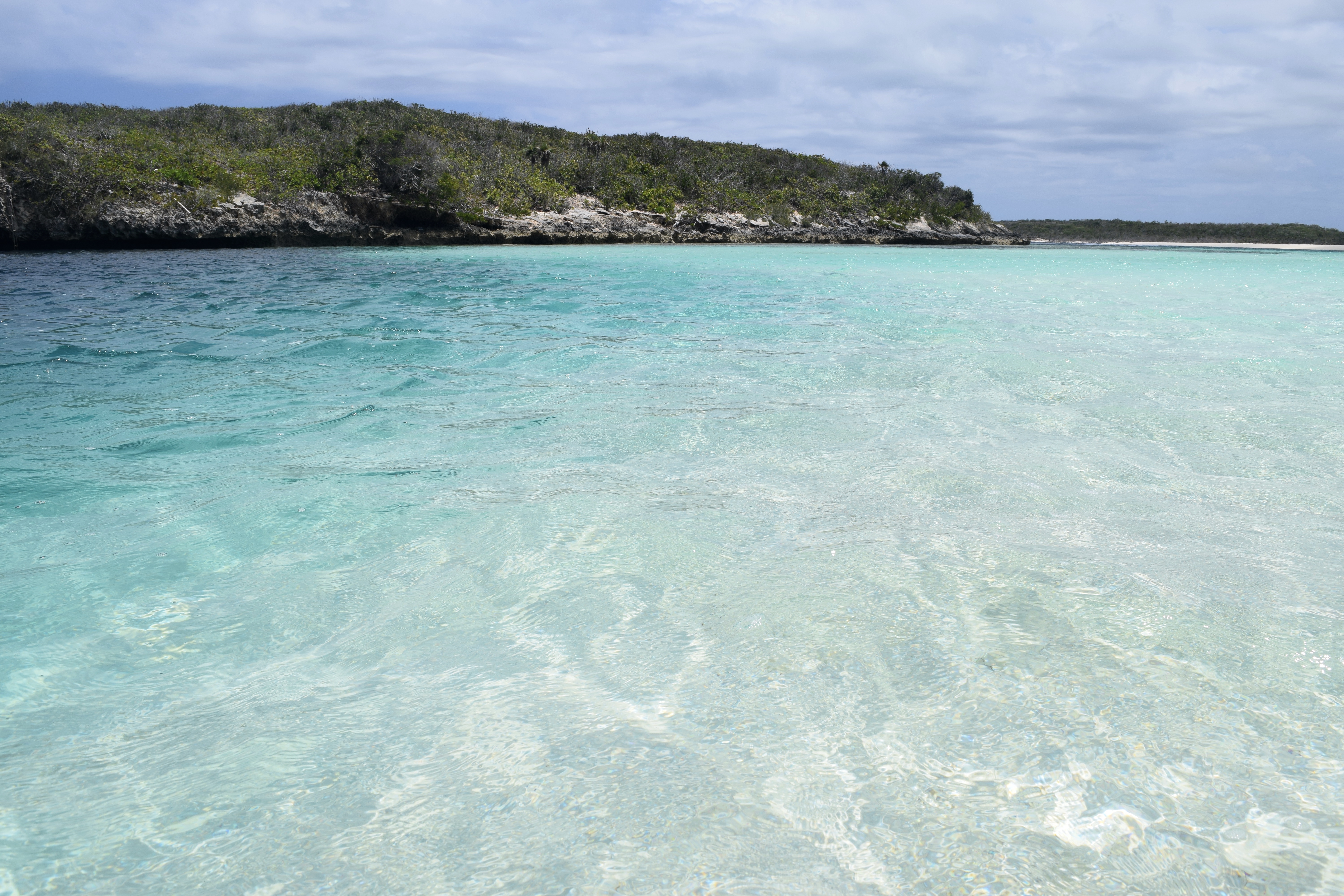
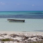
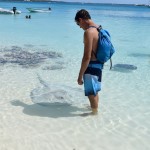
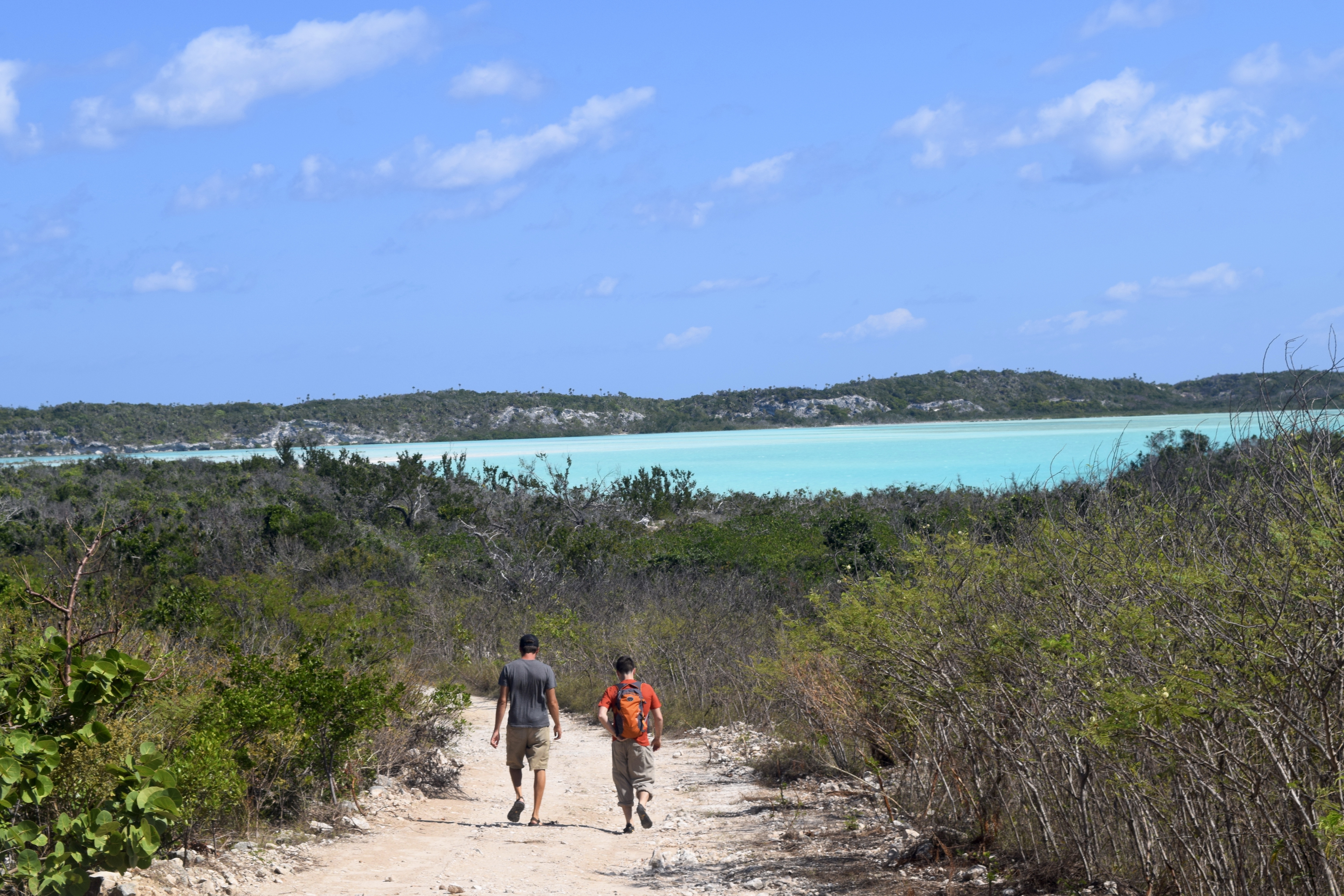
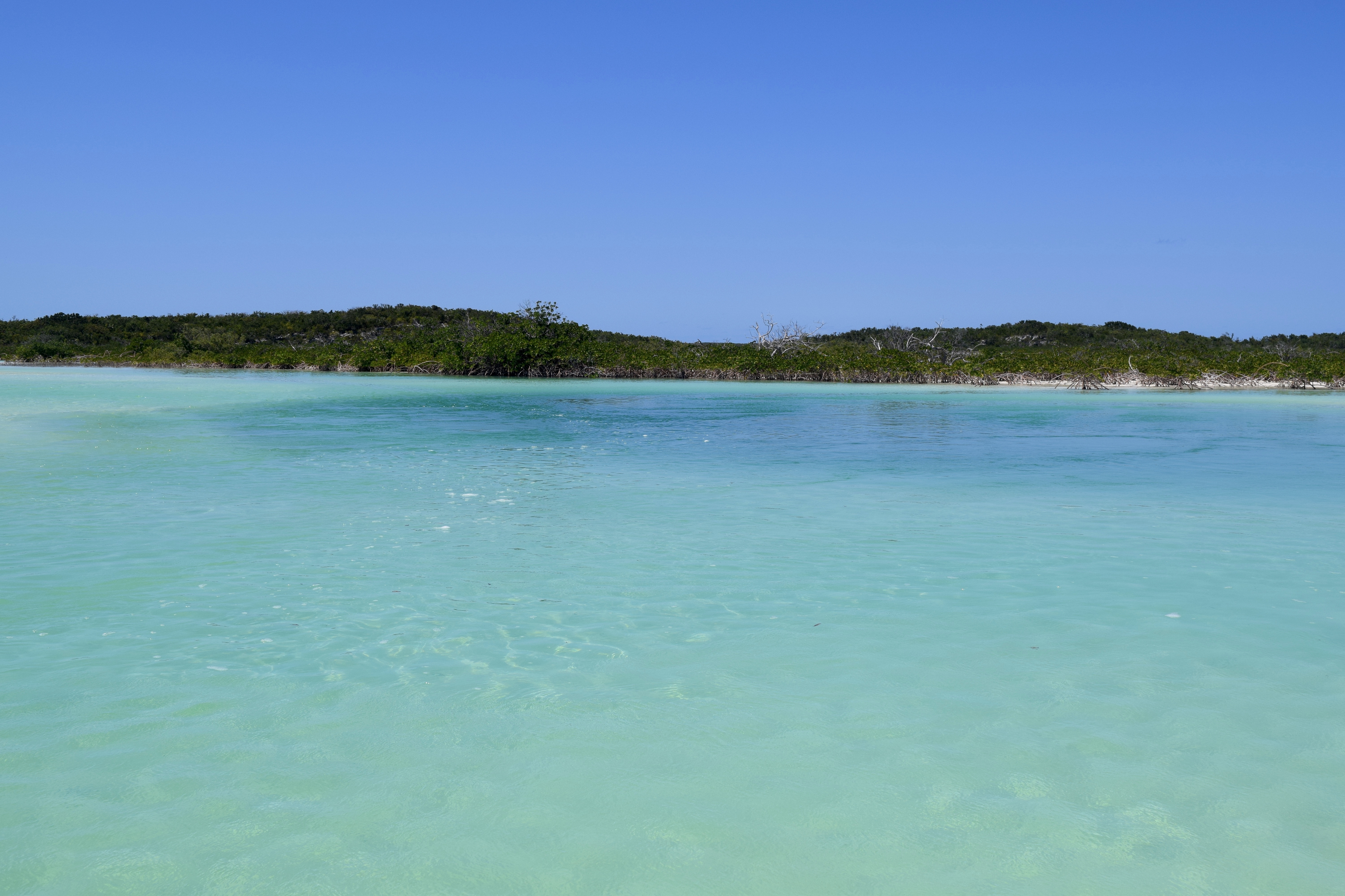
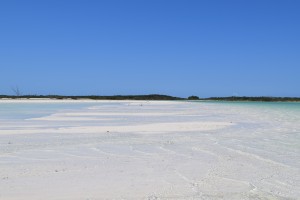
The next day we dinghy-ed to the mouth of the river. The entrance is shallow and the water color varies from crystal clear to an iridescent sparkle like diamonds. As we continued, the river forms to a more traditional turquoise color with deceptively fast turtles that dart away. At the junction of the river there was a deep pocket of water. It was near here we decided to jump out of the dinghy and float with DSC_0974
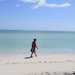
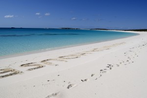
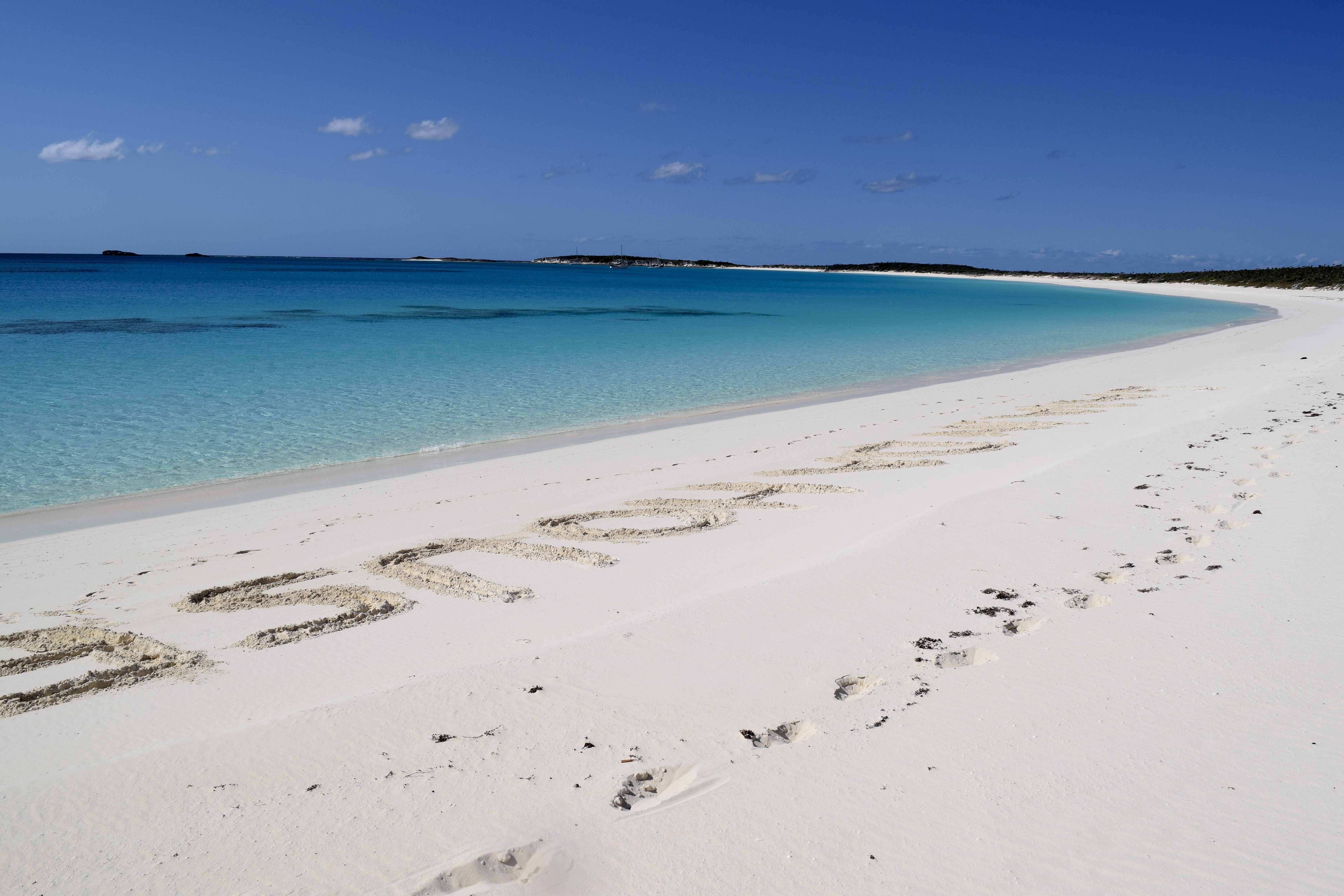
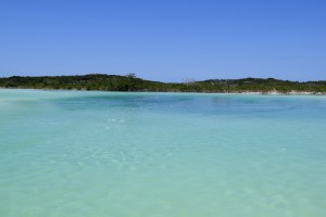
the current. I stayed with the dinghy, while Jess, Justin, & Mike got up close and personal with the sergeant majors hiding in the mangrove branches, and the conchs trudging along the bottom, even the barracudas lurking in the back. We returned to the mile long white sand beach with a few beers and relaxed. I wrote in big block letters ‘ GAIA IN DA HOUSE’ – it seemed like the right thing to do.

DSC_1000 DSC_0994

We had a long slow sail to Hawksnest marina, Cat Island where we filled up on much-needed water and decided to stay the night by anchoring in the river. The sun was setting and it’s unwise to navigate in poor lighting when there are possible coral heads to hit. The river was shallow and with a draft of 5.3′ we definitely bumped the muddled ground at low tide but nothing major.

DSC_1026
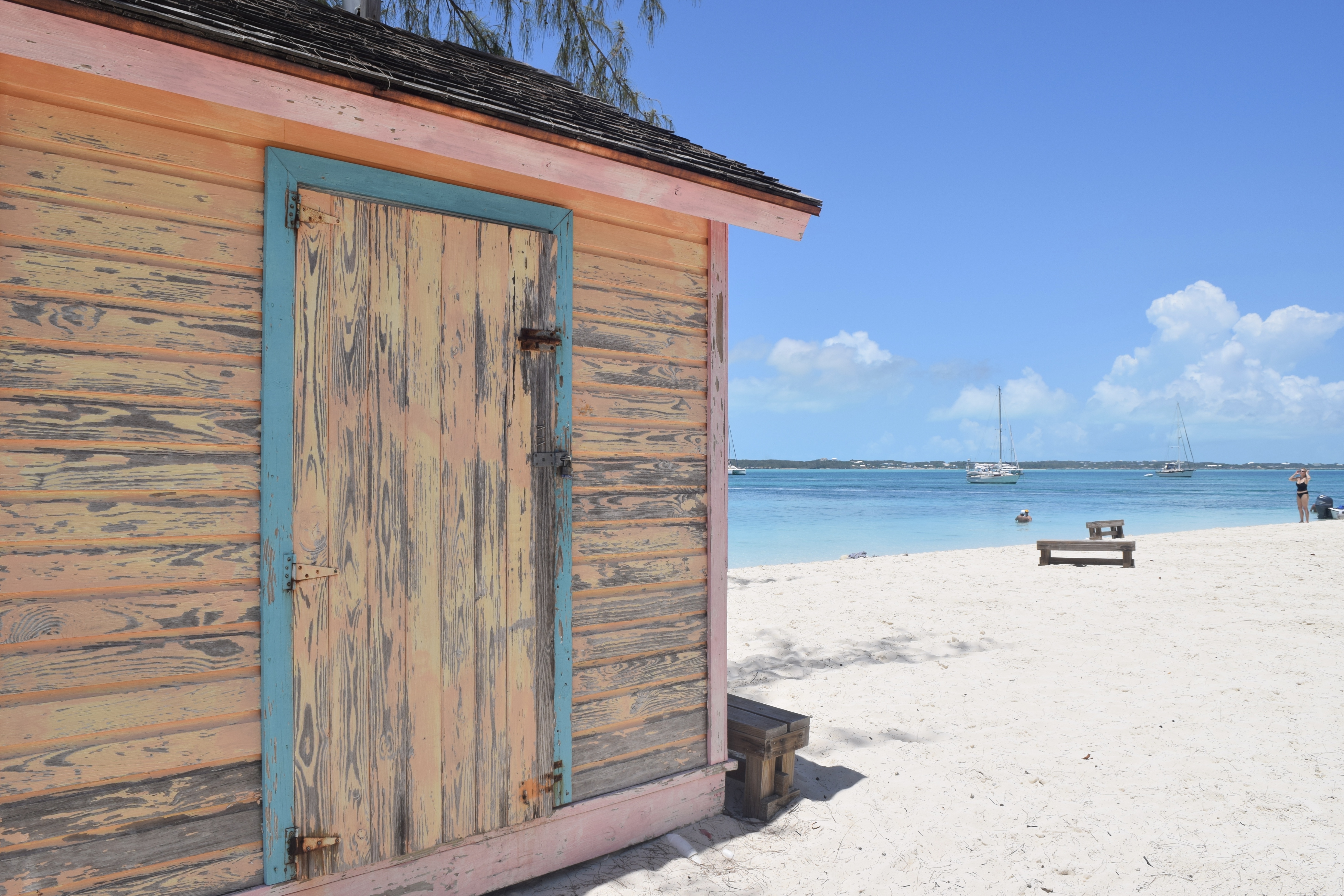
On Cat Island we explored New Bight, which was a great anchorage. We pulled up on the beach and found several bar and restaurants. We chose Hidden Treasure and Denice took great care of us. Jess & I started off with mango daiquiris. They’re served in a long stem margarita glass… or I should say margarita bowl, it was enormous with rum DSC_1019
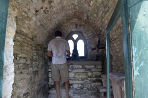
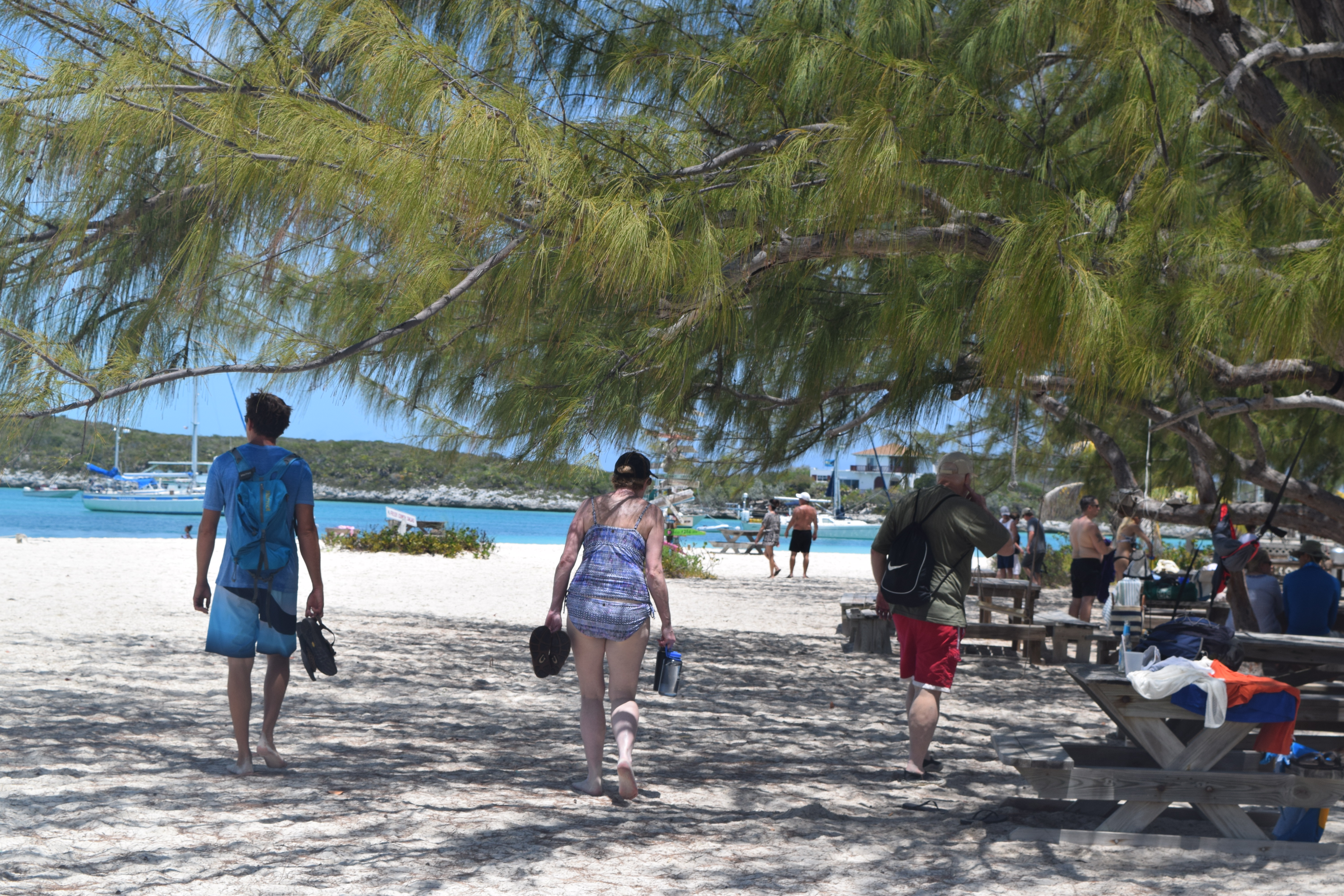
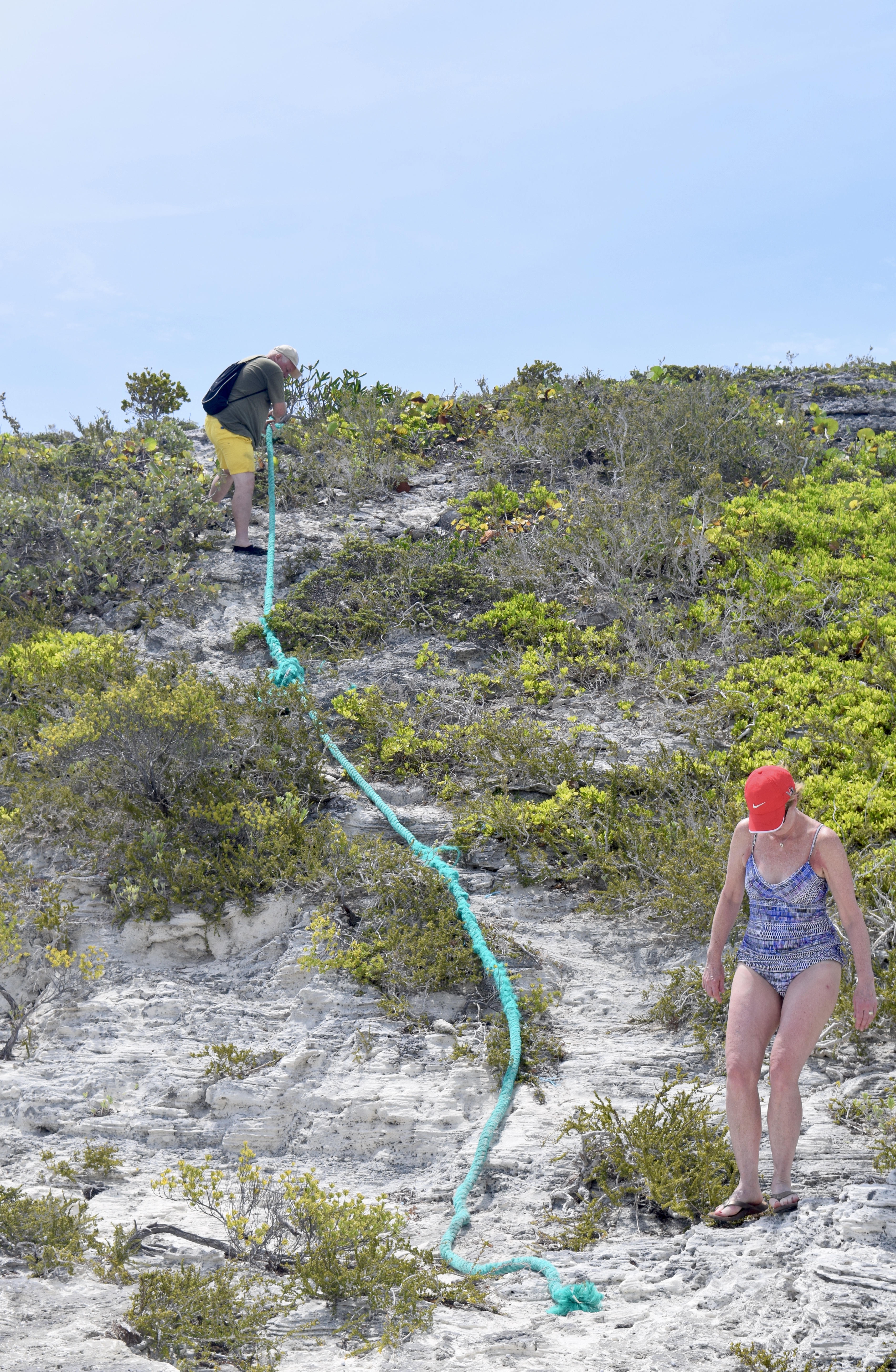
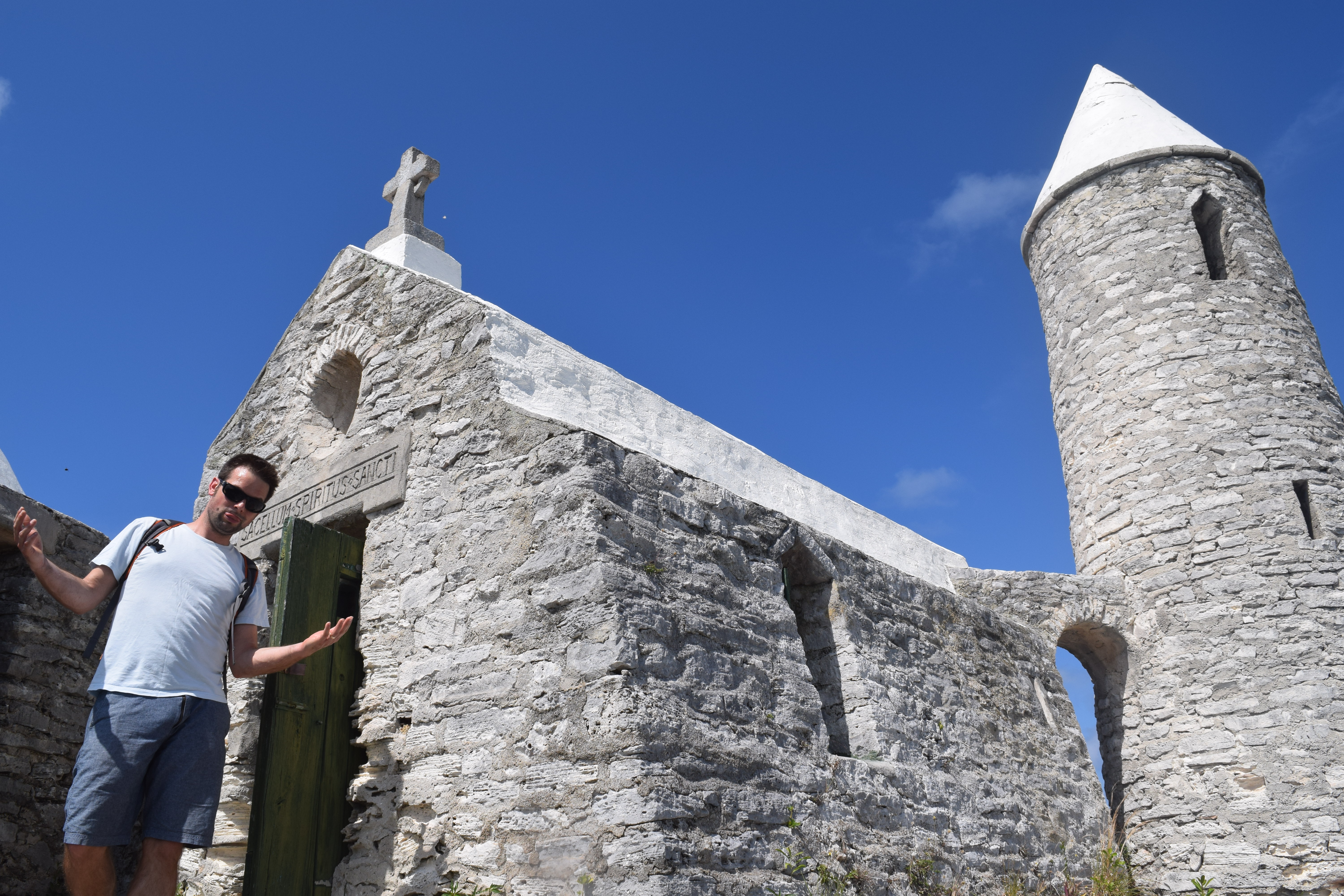
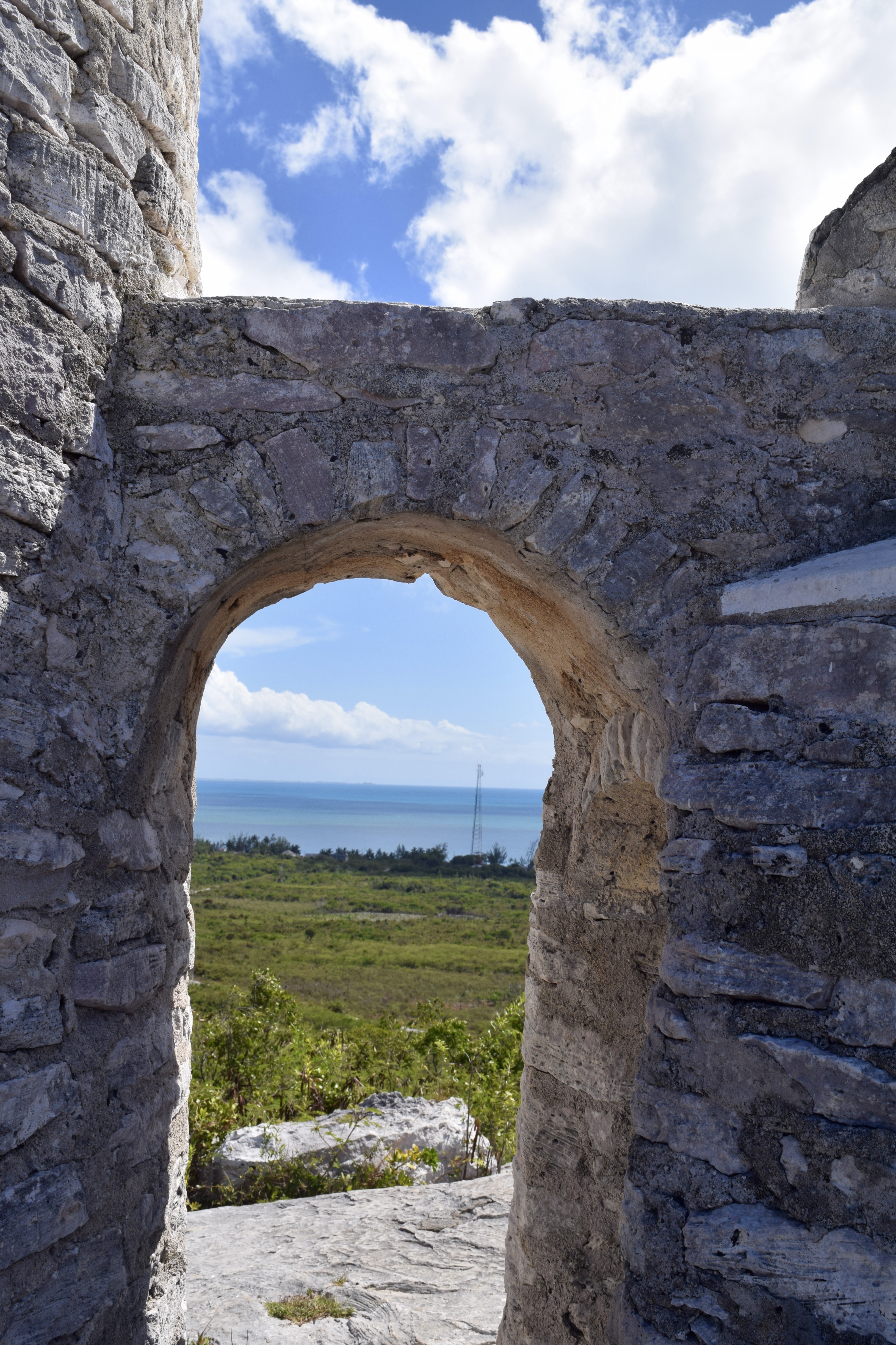
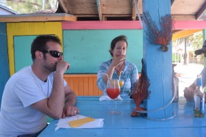
floaters ontop! Lunch was made jovial by our mid afternoon cocktails. But let’s not leave out the food, it was also wonderful – the grilled mahi mahi was spectacular. We burned off our lunch by hiking the tallest point in the Bahamas! Mt. Alvernia better known as Como Hill which stands 206 feet tall. Whew! And the top not only rewards you with a great view but an interesting peak into the past.


DSC_0008


DSC_0021

DSC_0024“It was named Mount Alvernia by Monsignor John Hawes, a Roman Catholic priest. It is said to be reminiscent of La Verna, the hill in Tuscany that was given to St. Francis of Assisi as a place where he could peacefully contemplate, and is reportedly where Assisi received the Wounds of the Cross. Monsignor John Hawes, known to Cat Islanders as Father Jerome, was a skilled architect and sculptor – DSC_0035a self-described contemplative and admirer of St. Francis of Assisi. Using local stone, he built The Hermitage on the peak of Mt. Alvernia in 1939, a small medieval monastery where he could get away from the world. Father Jerome is also known for building cathedrals and convents throughout The Bahamas, including on Long Island and New Providence. He died in 1956 and is said to be buried somewhere on the site of The Hermitage.” -bahamas.com


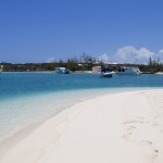
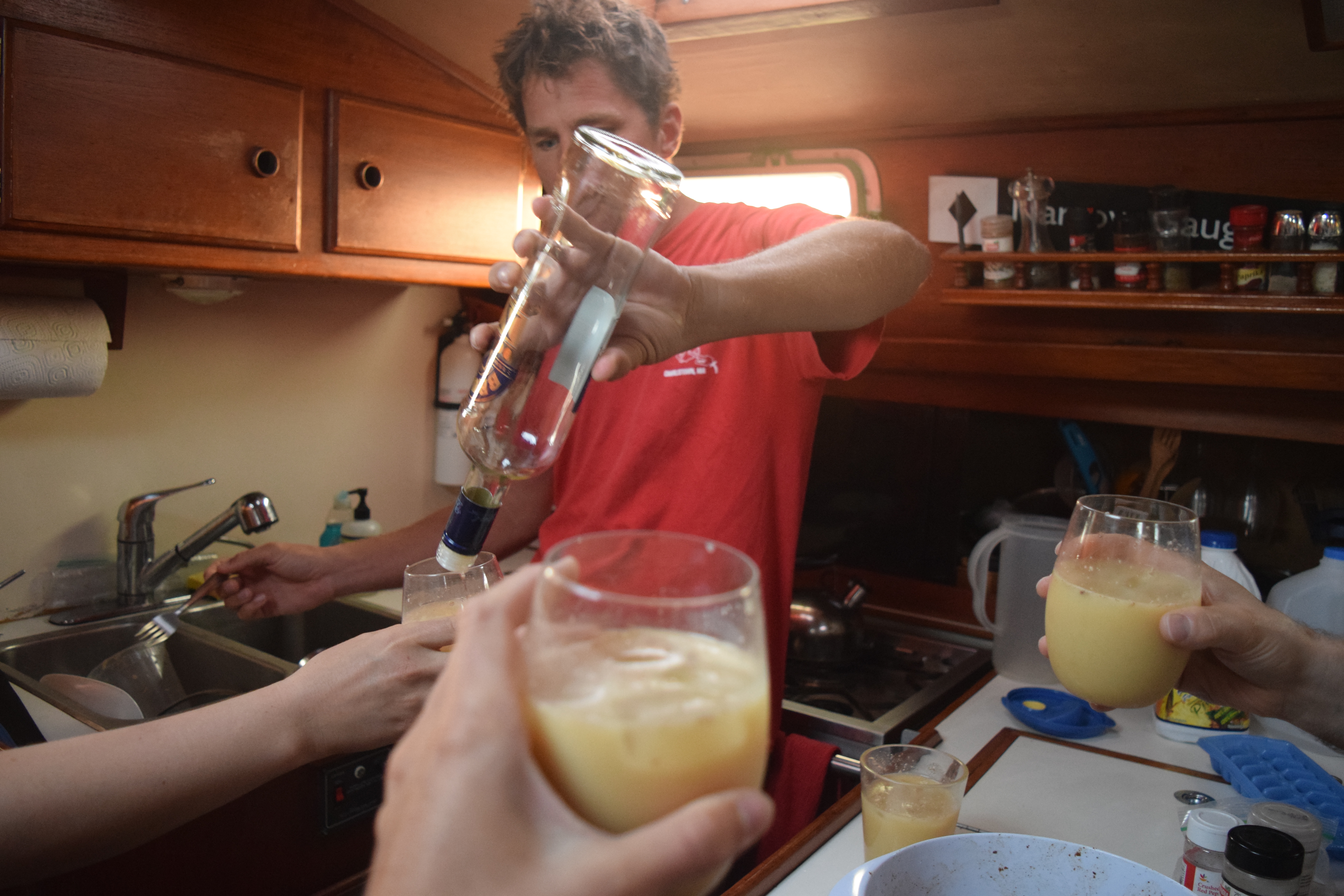
From New Bight we went to Fransesco Bay where we found a resort that had a trusting bar on the beach. The owner welcomed us and showed us a circular bar completely stocked with cups, ice, liquor, wine, beer, and juices.

DSC_0037


Each party took account for every drink they made or took and tallied up their own order to pay for it up at the front desk. And then the owner walked away. And we continued to party.


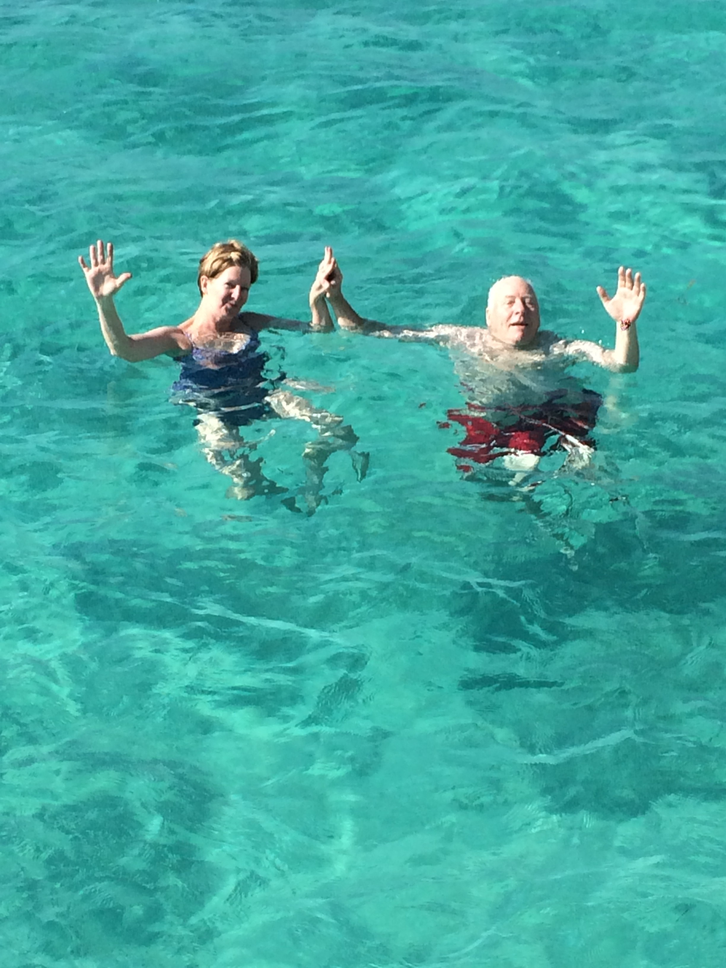
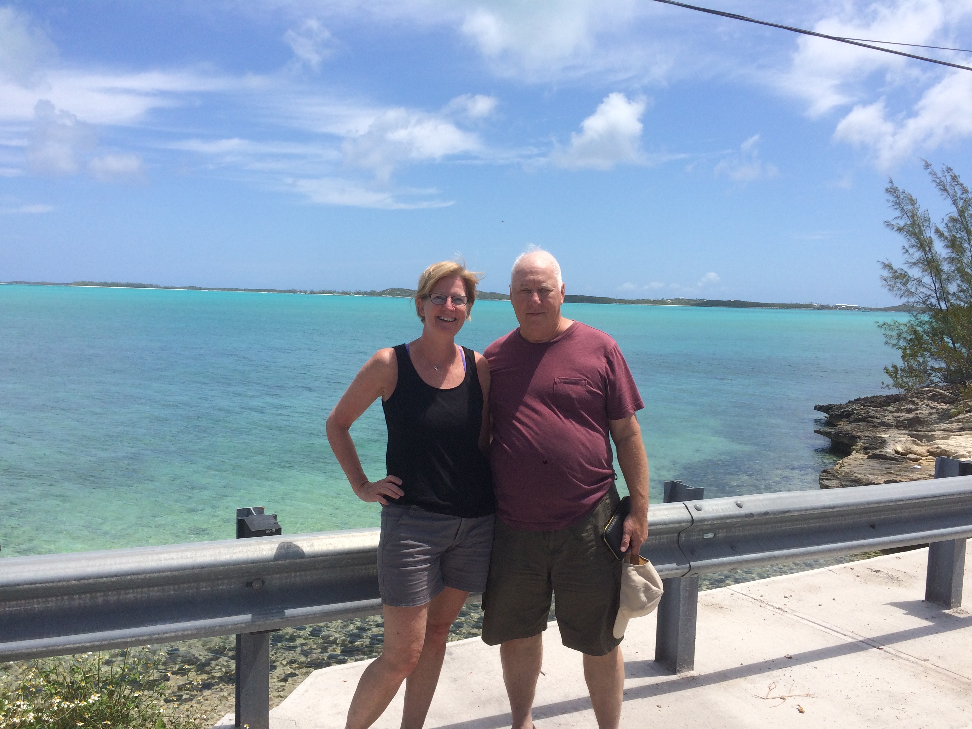
The next day was a bit slow in more ways than one. The wind had died and we had a very long sail from Cat Island to Georgetown Great Exuma. The seas were so flat and so calm, we slowed the boat and jumped in. It was a fantastic trip all around but again the friends had to return to Boston and we, we had to prepare for our last round of guests…. my parents…. bum bum bum!

Acklins Island – Fish Cay – Crooked Island – Long Island

01 Sunday May 2016

Posted by Kirsten McLinn in Bahamas

≈ Leave a comment

Hogsty atoll was such a beautiful experience. If you’re sailing through the area and the conditions are right I highly recommend diving/snorkeling the reefs and wrecks!

SW Acklins

SW Acklins lighthouse & wreck


anchored in SW Acklins - going aloft
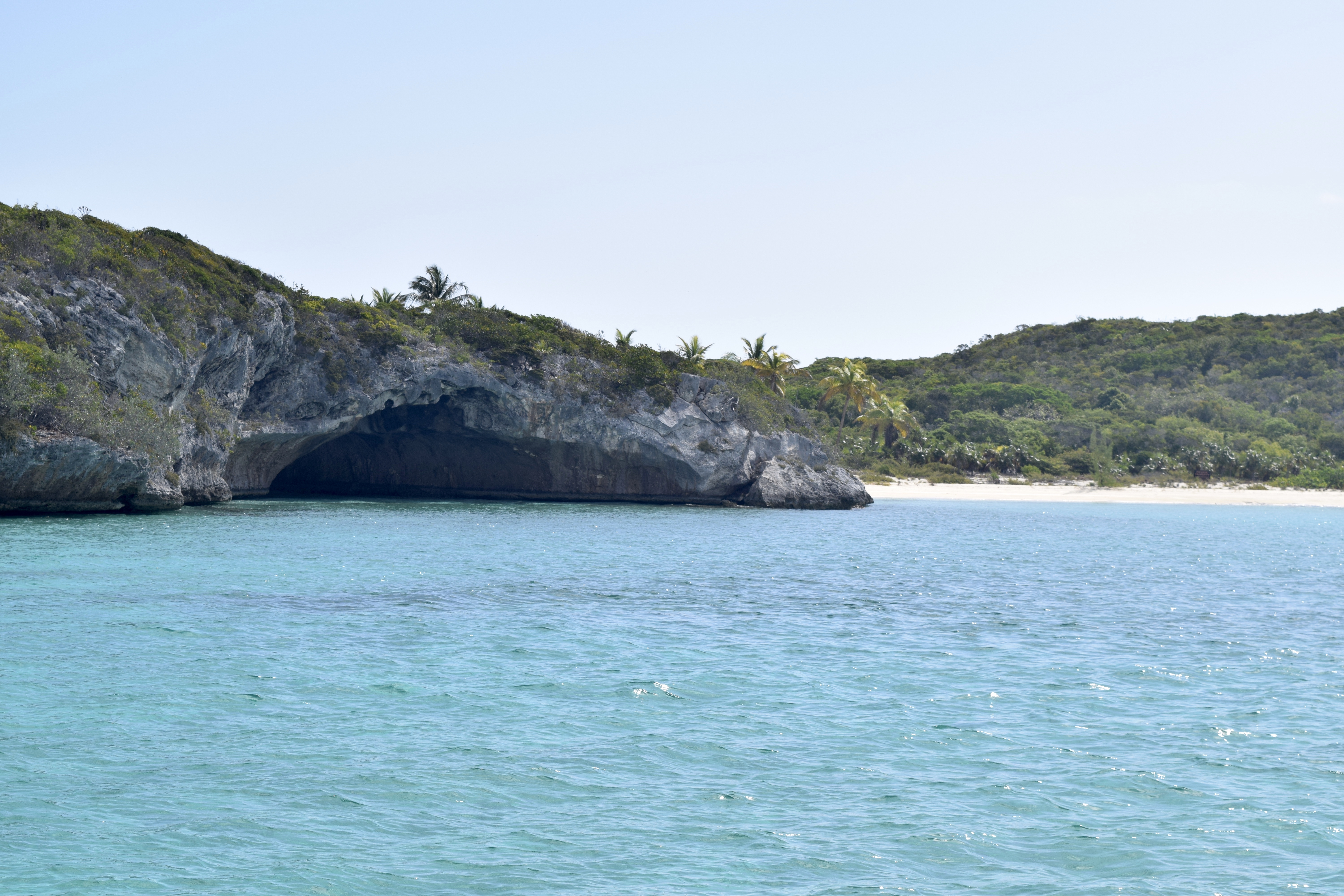
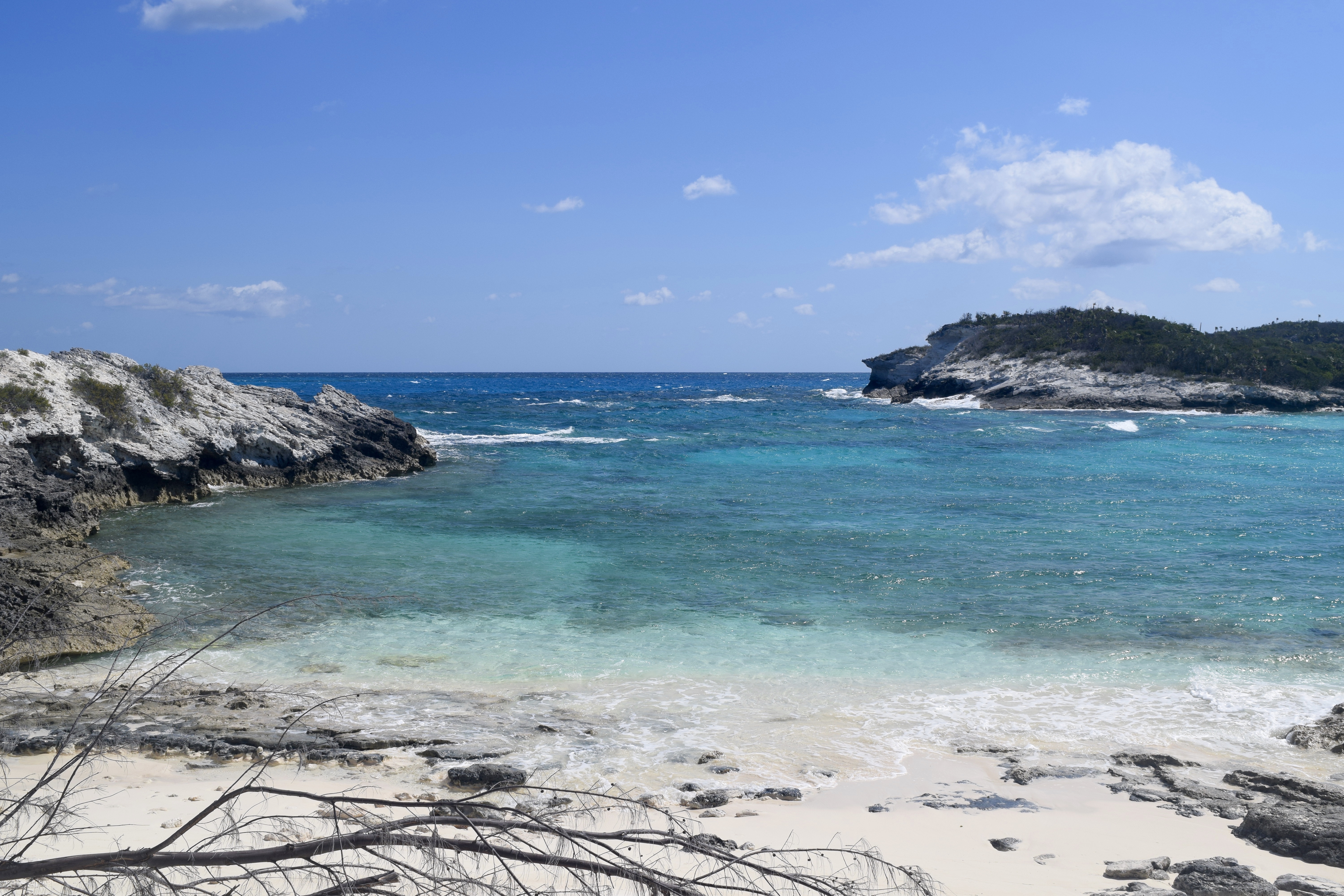
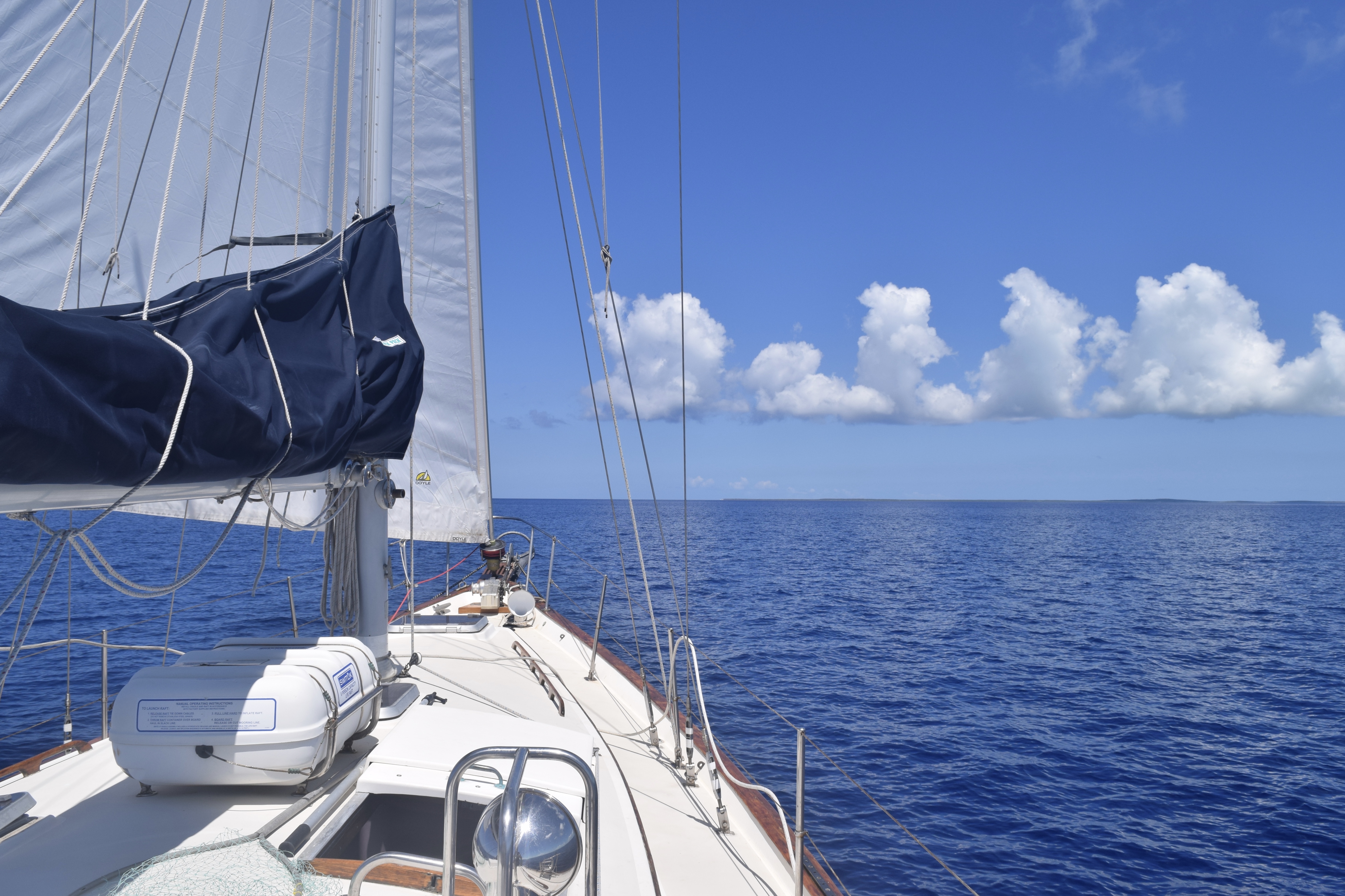
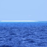
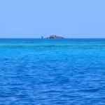
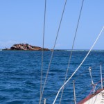
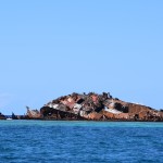
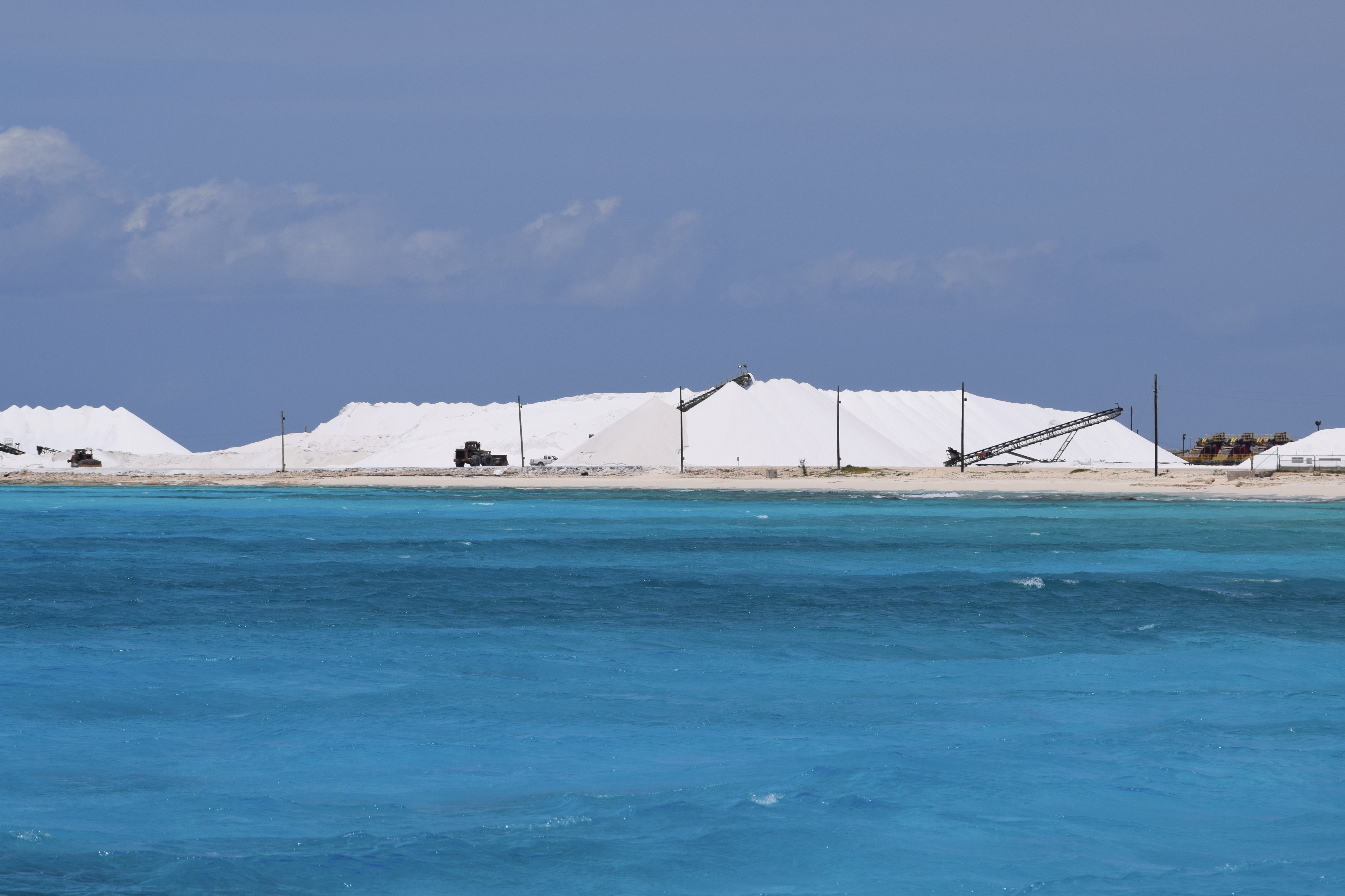
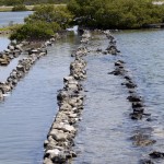
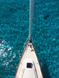
We continued on our journey past Castle Island. As beautiful and pristine the anchorage appeared, the swells on either side were too much for us to handle. We motored up the coast to the SW Acklins anchorage. (SW Acklins from aloft – right->)

You’ll notice none of my pictures show buoys or channel markers outlining channels or warning of shoals and reefs. You really need to depend on your eyes so it’s important to sail with good sunlight in unknown waters. At first I was nervous, having never navigating by eyesight alone…. but with decent sunlight it’s a cake walk. The waters are clear and after you see one reef or jetty of submerged rocks… you know what to look for going forward.

From SW Acklins we spotted a few small skiffs skimming the horizon but no neighbors to speak of since Matthews Town the day we cleared in. We crept to the South of Fish Cay where the current carved out a deep enough area to anchor in sand. Everything in front of us was all too shallow for Gaia and in 10 knot winds, we had zero bouncing waves. Another sound night of sleeping!

Bermudian rainbow in Fish Cay
anchored in Fish Cay
going ashore
going ashore

Fish Cay
Fish Cay
meandering ashore
meandering ashore
Gaia looks great
Gaia looks great

DSC_0825

From Crooked Island we went to Long Island and had another beautiful downwind sail. We tucked into Little Harbor finding ourselves alone again. The cut into the protected anchorage is narrow and East-facing. Don’t time this cut incorrectly or it’ll prove to be a dicey and uncomfortable motor into steep strong standing waves. We timed it perfectly at slack tide and found the harbor to be curiously inviting with a half submerged boat in the shallows. I enjoyed my morning coffee watching the occasional green turtle surfacing.

DSC_0847

DSC_0858The following day we made anchor in Clarence Town and the nearby marina had a nice laid-back bar we really enjoyed. From there we hitchhiked to Dean’s Blue Hole, the deepest blue hole In The World (cool! blue holes are water filled sinkholes).  Most known blue holes in the world average 110 meter/360 feet deep. Dean’s Blue Hole is a whopping 203 meters/666 ft deep. A couple of locals picked us up no problem and dropped us off…. on a beautiful white sand beach…. with about 30 other people and a …film crew… (?). Not what we were expecting either. The International Freedive Competition was camped out and taking place before our very eyes.

DSC_0860 DSC_0854

We watched as five deviously laughing young men surprised someone, picked him up by his arms and legs, ran him over to the water DSC_0844and tossed him in. The man they threw in the water was William Trubridge, who earlier that day, set the new world record of free immersion diving to 124 meters (407 feet). Good grief! The idea of diving with weights and a scuba tank past 90 feet scares me…. I can’t imagine swimming freely for another 327 feet. We wandered the premise enjoying the sights and watching this close-knit world of free divers around us. We eventually strapped on our own dinky snorkel fins and mask and swam around the blue hole. The diving competition took place within a square, marked off by 4 floating pcv tubes. Friends and spectators could DSC_0835hang  off them and watch. As curious spectators, we floated in the warm clear water with the pros. We asked questions as to how athletes started and met their depth. We learned the long wire that hung straight down had flags at predetermined depths for each diver to reach and retrieve their own flag. Upon their ascent two aiding free divers swam down 100 feet only to assist if something was awry. When the athlete surfaced they were required to perform basic functions to show they were stable. It’s not completely uncommon to witness a diver black out or show problems breathing. Not to fear, there are completely qualified and trained medics standing on the raft and in the water to help should any serious problem arise.

We stayed and watched several divers. They were beautiful, elegant swimmers. They disappeared into the abyss with purpose and rose back to the surface like slow rising smoke or an unearthly ghost – it was fascinating. I watched one woman ascend from afar by diving down a few feet. Through my own mask I could see her face. Her nose pinched off by a plug, and her eyes closed. She was completely zen and relaxed. If it wasn’t for her feet effortlessly moving I would have thought she was asleep.

We made our way back by hitchhiking again. A diving competitor from Germany, generously stopped for us and gave us a ride back to the marina. She kindly listened to our elementary questions on the sport and we hung on to every word she had to say on what it was like to dive down that deep.

Seeing Dean’s Blue Hole was beautiful and unique and a great start to visiting Long Island…

Hogsty Atoll – serious reef shark population

26 Tuesday Apr 2016

Posted by Kirsten McLinn in Bahamas, Favorite Posts

≈ Leave a comment

It’s about 75 nm from Great Inagua to SW Acklins, which would definitely be an overnight sail. Or you can anchor midway. Midway of the passage resides a sudden shallow reef called Hogsty. The horseshoe-shaped reef barely cuts the oceans surface, so you should only spend the night when the seas are calm. We were fortunate enough to catch the passage at 11 knots and decided to go for it. We would anchor for the night completely surrounded by vastly deep ocean in every direction for 40 miles.

The safest way to enter the atoll is more of a westerly direction, too far South and you’ll be dodging large coral heads. With a shift in winds, we found the middle of Hogsty to have confused seas sloshing about but further to the NE where the seas consistently bubbled over the reefs, Gaia bobbed up and down peaceably at anchor. We dropped anchor in 13 feet of sand just east of the Liberty wreck, a freighter that went down in a 1963 hurricane. This is just one of 200 wrecks accounted for since the Columbus’ era of exploration.

We immediately brought the dinghy down and went on a snorkeling adventure. The water in the lee of this ship was murky with iron tainted waters but once we cleared the side, the water was clear and the shallow reefs stretched on and on luring you in to explore. I bravely snorkeled further from the ship peering around coral heads bobbing about and then … I saw IT! My first encounter with a shark and not a nurse shark. It was a reef shark with shark eyes and a shark snout in its shark environment. My first reaction was to reel around and swim as fast as I could to get Mike because Mike would surely protect me… but then I realized flailing around in the water to float next to another body would not eliminate the fact that I was still in the water with a shark. I decided to slowly float on over to Mike. By the time I had informed Mike, the shark was gone. So we continued swimming but I was less adventurous. We swam past the dinghy to the other side of the wreck and a barracuda kept unnervingly close tabs on us. Mike tapped my arm and pointed at another reef shark behind the barracuda. It wound its way around the coral heads, making its way closer to us before continuing on its rounds about the reef. Very conscientious of my heartbeat and limbs I was now a bit unnerved by the new territories of this water. A few minutes of poking about I watched a barracuda sprint away. I tapped Mike’s shoulder to show him. He tapped my shoulder and pointed in the opposite direction. My third reef shark was swimming ever-closer to both of us. That was it. That’s all I could take for one day. I hadn’t felt this defenseless since our crossing to Bermuda. I just wanted to be out of the water. I slowly watched the shark swim around and loop up right at us and I was acutely aware of how slow I was in the water as the sharks path came closer and closer.  Mike was in front of me and began holding out the Hawaiian sling. Thank God, someone had something to stab at the shark. The shark came within 20 feet of Mike and deep inside I was freaking out thinking of all the worst case scenarios and how much all of them would … suck. But externally, I maintained a slow steady breath and kept my movements slow and minimal.

The shark eventually lost interest and we swam straight back to the dinghy. Once we were both out of the water, everything released. We both just began laughing in awe of swimming around sharks and how thankful we both were Mike decided to bring the spear. That was pretty darn cool.

We later learned shark advice from an adventure camera crew:

  1. Once you spot a shark don’t flail – the splashing is similar to that of a fish in distress and acts as a dinner bell to the shark. (check)

2. Don’t panic – maintain your normal breathing. When you jump in the ocean, sharks don’t smell you or hear you, they first feel the electrical pulses of your heart. (check)

3. For most sharks, you don’t look like their habitual meal. A majority of all shark attacks are because the shark mistook the human as food (fish) of some form. A sharks prey tend to dart to the surface. Maintain your buoyancy and try to maintain your lateral swimming position. (almost check)

4. Keep eye contact with the shark. If possible stare into its eye(s) and face the shark don’t turn your back to the shark. (2/3 check)

5. If the shark does dart at you…

a. give up the damn fish. Don’t fight the shark to keep whatever fish you’ve just speared.

b. punch the shark in the nose. (Yeah. About that…) The shark is most sensitive in the nose and, really, at the end of the day most to all sharks don’t want to be harmed and are weary of getting hurt.

The anchorage was amazing. It didn’t just feel like we were alone…. we really were alone and it was beautiful.

entering Hogsty from the SW (too much to the S and you'll be dodging coral heads)
entering Hogsty from the SW (too much to the S and you’ll be dodging coral heads)
Outside of the atoll the water is thousands of feet deep
inside the atoll is 13-20 feet deep

Liberty ship
Liberty ship
we anchored just South
Beautiful water
Beautiful water

Mike picked up a few conch
and we made conch fritter out of this little critter

Moving On Up – South Bahamas Great Inagua

23 Saturday Apr 2016

Posted by Kirsten McLinn in Bahamas

≈ Leave a comment

We wobbled onto land to check in on Saturday morning to Matthews Town. We immediately found the locals to be immensely kind – amazingly generous. There were two locals who gave us a ride to the police station to check if the Customs/Immigration office would be open on a Saturday. The police stationed phoned the C/I who drove over to pick us up at the police station before clearing us into the Bahamas. We paid $300 USD in cash to clear in which gave us a cruising and fishing permit for a year and the ability to leave for up to 3 months and return without clearing in/out!

Matthews Town wasn’t all that exciting, it had a screened in gazebo/hut with free wifi but even the prospect of free wifi didn’t stop our progression to a new anchorage. We anchored in Man O War bay just South of the Morton Salt dock. It was there we snorkeled the crystal clear Bahamian blue. We decided to splurge and take a tour of Great Inagua.DSC_0669

We consulted the ‘Active Captain’ reviews and called a guide named Casper and made arrangements to meet him on the beach the next day. It would be $100 for the tour but that went straight to the Bahamian Trust. Friendly and welcoming, he helped us drag our dinghy onto the beach and then we all fled for our lives from the relentless mosquitos; retreating into his nice SUV. Having grown up in Great Inagua and traveled to a few other islands working various jobs for the Bahamian Nation Trust, Casper was well versed in the history, ecology, and economics of Great Inagua as well as the rest of the Bahamas. We learned what a potcake was – it’s what locals call their stray dogs (named so because that’s what people fed them – potcakes – the burnt rice on the bottom of a pan). He told us of how the salt mining industry grew from a few locals building salt ponds and working endlessly which progressed to the Erickson family coming in & investing in machinery and scaling production until Mortons Salt Company took over operations. Casper also told us about the flamingo populations and how they migrated from island to island but it was at Great Inagua, deep in the reserve the flamingos would come by the thousands to nest. Once we were as close as we could get (about a mile away), he took out a heavy duty telescope and sure enough the entire horizon, dotted with pink flamingos, came to life and you could see all the grey puffs of baby flamingos huddled at the feet of the adults. We saw groups of flamingos all around but it was the nesting ground that blew me away.

DSC_0638
driving a bumpy rocky path
we saw pockets of flamingos

DSC_0605
dry flat landscape
dry flat landscape
DSC_0652

we stopped to see a few ground owls
what the old salt plantations looked like
Mortons Salt pond
Mortons Salt pond


Okay, Okay, THIS is our last long passage.

19 Tuesday Apr 2016

Posted by Kirsten McLinn in Bahamas, Favorite Posts

≈ 1 Comment

DSC_0475  The day our dear friends departed, they took ALL of the wind… Our next leg was about 450 nm from Culebra to Great Inagua – The Bahamas (!!!) so we were stuck until wind could fill our sails. Mike took another stab at aligning the prop shaft/V-drive using a new app called Vibration. Using an accelerometer, it charts 3 different frequency waves to measure the vibration of our engine alignment (thanks Nate for suggesting this!).

We kept a watchful eye on passageweather.com and saw a decent weather window that we decided to take. It would be light wind the first few days with building stronger winds the last few days – we were okay with that.

But before we really started the journey we topped off on diesel fuel and water in Fajardo, mainland PR. It was then I noticed our diesel prices throughout the trip.

2015 Oct – VA USA $2.03/g

2015 Dec Bermuda $4.50 /g (and that was greatly subsidized!)

2016 Mar St. Thomas USVI $3.14/g

2016 Apr Fajardo PR $2.45/g (we unfortunately did A LOT of motoring in Mar/Apr)

2016 May Georgetown Exuma $3.72/g

Priciest fuel goes to Bermuda, Cheapest goes to VA

Our passage from PR to Great Inagua Matthews Town took us 4 full days, we arrived in Matthews Town at midnight Friday. We did 4 hours on, 4 hours off for shifts but again, since it was a short(er) passage we were a bit lenient on the shifts. The first day was great sailing. Puerto Rico appeared more mountainous than I imagined and I hope to explore mainland PR one day. The second day, I was feeling a bit under the weather, and I don’t think it was seasickness, it felt different. DSC_0528Mike was amazing and pulled off a 7 hour night shift for me and the next day I began to pull through my ‘funk’.

Also worth mentioning, we passed over/ by the Puerto Rico trench. The trench extends 500 miles long and it’s deepest point is Milwaukee Deep at 28,373 feet, the deepest point in the Atlantic Ocean.

It turned out to be gorgeous sunny sailing. A pod of 16-18 porpoises swam alongside Gaia, playing in the bow wake for a while and we both got a kick out of that. Later, while Mike was asleep, the USCG helicopter circled the boat twice before disappearing over the horizon. We suspected they were doing routine checks in the area for drug control. DSC_0504We passed the northern entrance of the Mona Passage effortlessly – the Mona Passage is notorious for being the biggest in-to-the-wind passage for sailors headed toward the Virgin Islands.  Reason # 738 why I’m glad we went to Bermuda then down to Antigua to follow the trade winds back home – one less pain in the butt windward sail for us.
On day 3, the winds picked up to 20-25 knots and we dropped the main in some decently sized waves which made the entire process…. uhm….”sporty”. For my night watch, I pulled my foulies on in preparation for a few looming storm clouds. No moonlit night sailing this time, it was far more stressful for me this time. A cargo ship was approaching at 13 knots but I lost visual of it in a particularly thick squall that passed. I monitored the cargo ships progress via AIS (AIS is a way to track other boats progress through the water on your GPS, ours is receive-only). Once the squall passed I looked behind me where the GPS showed the cargo ship, only to find darkness. The cargo ship was much much closer than what our GPS was reading & on top of that the controls on our GPS were not functioning. I jibed to get further away from the path of the cargo ship. After the jibe, I took another look around and noticed a single tall white light. I starred at it for a few minutes trying to calculate just what the heck the light was. It couldn’t have been a rocky shallows off the coast the DR – maybe it was a buoy, or another sailboat without red/green running lights.  Whatever it was, my current heading could be on close collision course with said mystery light. After a few minutes, I decided it’d be best to jibe and steer clear. I looked over my shoulder to see where that cargo ship was… but another squall had hit. The winds picked up, the rain was slamming down, and I had a mystery light ahead of me and a cargo ship hiding in the squall on my starboard – all with a GPS that was none-too reliable. Earlier, I had looked up the cargo ships AIS data and found the name of the ship so I went down below and hailed the cargo ship on channel 16. “Cargo ship XYZ, cargo ship XYZ, this is the sailing vessel on your port bow” A pregnant pause and then there was a response!!! A complete and utter stranger responded back to me at 2:00 AM in the middle of a squall! I don’t know why I wasn’t expecting a response but my heart was pounding, I was so excited. Since 16 is purely a hailing and distress channel, I was very curt and requested their course over ground / heading. He responded and I said thanks. I looked at the compass and estimated my new course through the water once I jibed & saw I’d be in the clear, close to the cargo ship but in the clear. I made my jibe and about 10 minutes later the squall passed and I saw on my port bow the cargo ship putting along at it’s 13 knots.

DSC_0529

darkness befalls us

The rest of the sail was a breeze and rather dull. We dropped anchor at 11:50 PM on Friday night and we both slept soundly on Gaia in the Bahamas. We were finally here. Only west and north from here until Boston.

Newer posts →

Recent Posts

  • Here Today Gone Tomorrow – Getting Up the Pamlico & Albemarle
  • Beaufort, NC – Full Circle
  • Camp LeJeune and Really Bad Music
  • Then It All Went Black … ICW In Summer
  • Where Maritime Law Goes to Die – Wrightsville

Recent Comments

  • Jerr & Miz Suzy on Beaufort, NC – Full Circle
  • Deb on Charleston like home but without the W and south of the MasonDixie line
  • deb on ICW FL – we just wanted to see a rocket launch
  • Jerr & Miz Suzy on Great Abaco part IV – Goodbye Bahamas You’ve Been Swell
  • Deb on Company Calls part VI – Mom & Dad Sward

Archives

  • July 2016
  • June 2016
  • May 2016
  • April 2016
  • March 2016
  • February 2016
  • January 2016
  • December 2015
  • November 2015
  • October 2015
  • September 2015
  • July 2015

Categories

  • Bahamas
  • Bermuda Prep
  • Eastcoast Northbound
  • Eastcoast Southbound
  • Favorite Posts
  • Leewards
  • Predeparture
  • Windwards – Dominica

Meta

  • Log in
  • Entries RSS
  • Comments RSS
  • WordPress.org

Proudly powered by WordPress Theme: Chateau by Ignacio Ricci.